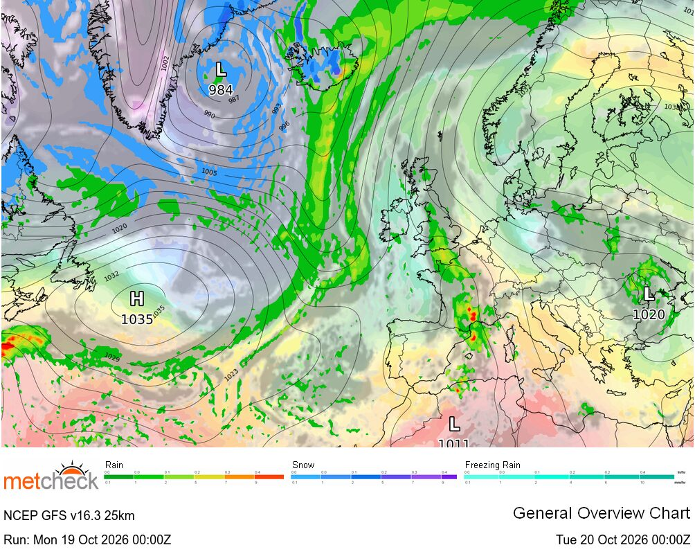
The outlook across Britain and Ireland remains very dry and settled as high pressure continues to dominate. However, that high is beginning to drift back westwards and will become centred to the west and northwest of the country over the coming days, allowing temperatures to gradually ease back to more comfortable levels across many regions.
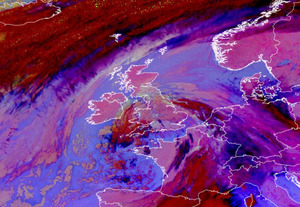
Of course, with an onshore breeze affecting many eastern areas throughout this week northern and eastern coastal regions have already seen temperatures closer to average, while parts of the south and southwest have continued to experience very warm conditions. Today follows much the same pattern with many parts of central and eastern Britain starting the day under areas of low cloud that have once again drifted inland from the North Sea overnight.
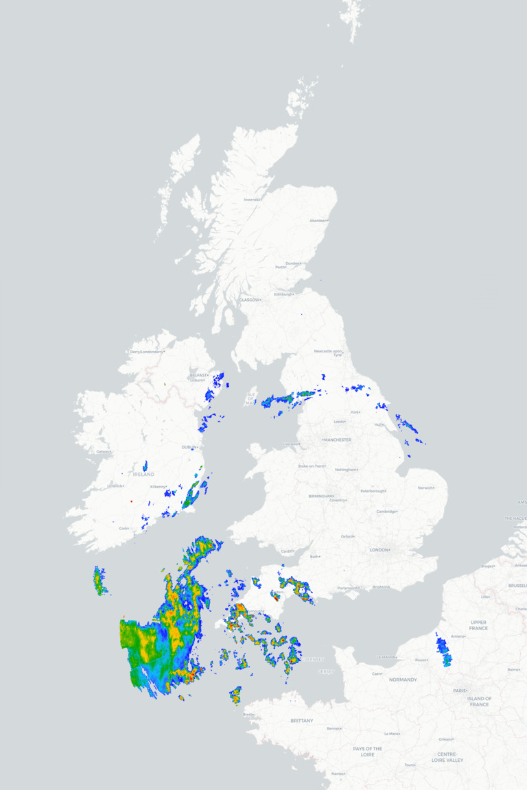
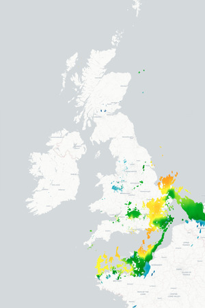
Further west, however, the sunshine is already dominating and will steadily burn off much of the low cloud through the morning, confining it back towards eastern and north-eastern coasts by this afternoon. As a result, most places will enjoy another largely fine afternoon with plenty of sunshine although some high cloud may turn the sunshine a little hazy at times. There also remains a slight risk of a few heavy, thundery showers moving northwards across the Channel Islands and the far southwest but the vast majority of places will stay dry.
Temperatures will once again vary considerably, ranging from the high teens or low twenties around northern and eastern coasts where the onshore breeze persists, to the mid to high twenties across many inland and western areas. Across parts of central and southern England, highs of around 30°C are possible once again.
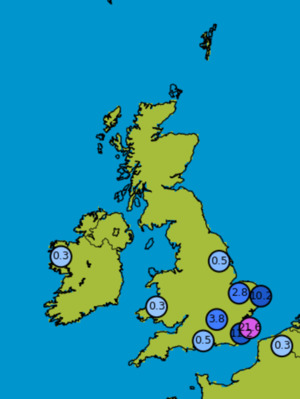
Very little changes as we move through tonight and into tomorrow. Low cloud will once again spread inland from the North Sea this evening and overnight before gradually retreating back towards eastern coasts tomorrow morning leaving many places with another fine and warm day. There remains a small chance of one or two sharp showers or thunderstorms across the far south and southeast, but these will be very isolated and most places will remain dry.
METEOROLOGIST : BARBER GHX Risk Charts ► Radar ► Airmass ► Visible Satellite ► |