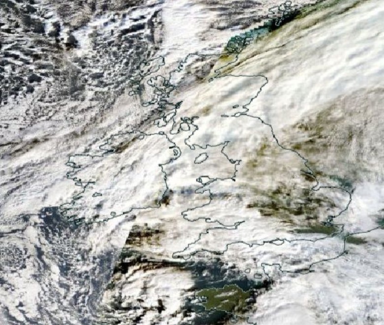
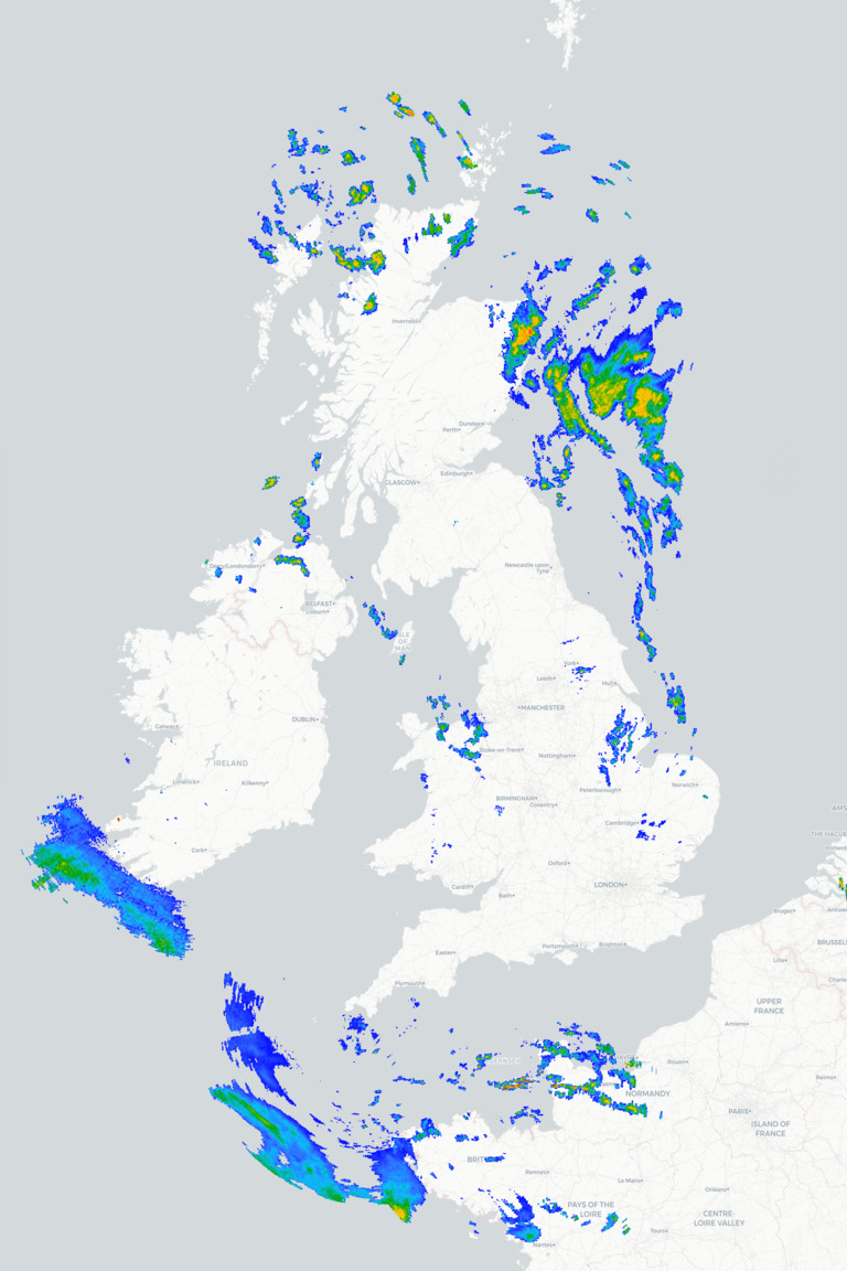
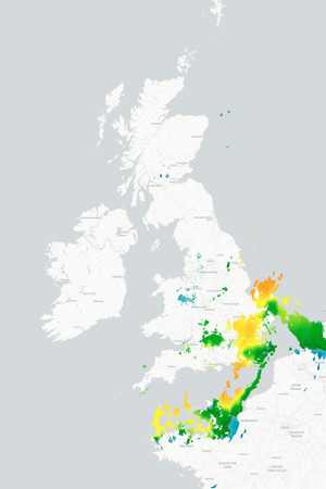
Monday begins on a chilly note across much of Britain and Ireland with temperatures close to freezing in parts of Scotland and northern England bringing a risk of icy patches. There will be some sunny spells, especially across central and western areas, although showers are continuing to affect parts of eastern Scotland and eastern England with some turning wintry over higher ground.
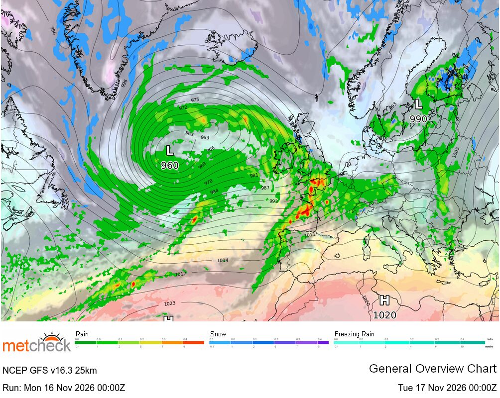
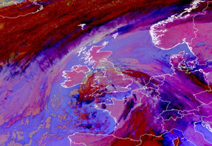
The showers in the east will gradually ease today allowing many places to enjoy a dry and bright spell of weather. However, cloud will thicken across south-western parts of Britain and Ireland quite quickly as an Atlantic weather system approaches. Outbreaks of rain will spread into much of Ireland and south-western Britain this afternoon, accompanied by increasingly brisk winds. Temperatures will generally reach 4°C to 6°C across northern and eastern areas, but highs of 8°C to 10°C are expected further southwest later in the day.
The rain will gradually spread eastwards during the evening, becoming persistent and locally heavy across Wales, southern England and parts of the Midlands. There is a risk of some snow for a time on the leading edge of the rain, mainly over higher ground in the north, before milder air follows from the south, bringing further heavy showers. Much of Scotland will remain cold, with frost developing in places once again, although strengthening winds later in the night will bring an increasing risk of showers.
Looking ahead to Tuesday and unsettled conditions will continue across many regions with further showers or longer spells of rain. Central and northern Scotland will remain bright but chilly with a few showers, while brighter and milder conditions gradually develop across much of Ireland, Wales and southern England. However, further heavy showers are likely, particularly in western areas.
METEOROLOGIST : BARBER Radar ► Wind Radar ► IR Satellite ► |



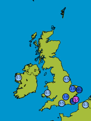
 Madre de D... 20mm/hr


 Western Au... 202/hr


 Glasgow Ai... -3°c