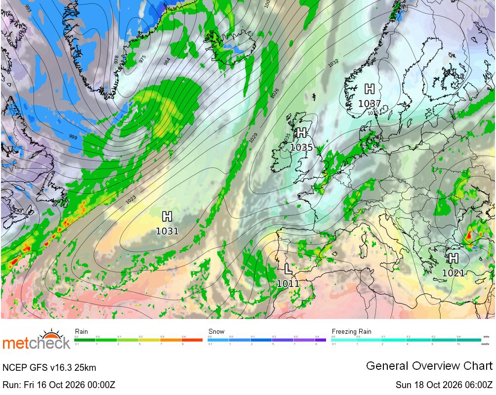
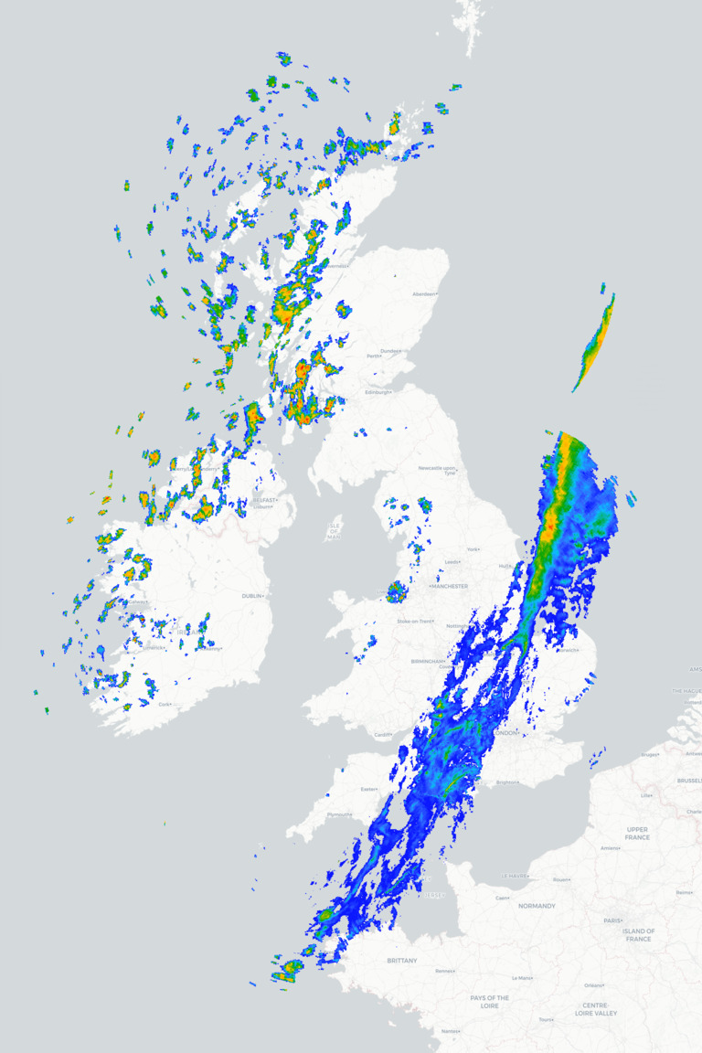
 Friday will bring a noticeably cooler and fresher feel to the weather across Britain and Ireland as a cold front finally clears away into the North Sea, taking the last of the warmer air with it. Behind the front, a west to north-westerly airflow will bring a mixture of sunny spells and scattered showers, particularly across northern and western areas, although many places will enjoy a reasonable amount of dry and bright weather.
Friday morning starts rather chilly across northern and western areas with showers affecting Scotland, Ireland, Northern Ireland and parts of northwest England, particularly around exposed western coasts and hills. Meanwhile, a band of rain across parts of eastern and south-eastern England first thing will gradually clear away into the North Sea during the morning. By this afternoon and much of England and Wales will see some decent spells of sunshine, although a few showers will develop inland, while the north and west continue to see a mixture of sunny spells and showers. Temperatures will be noticeably lower than Thursday, especially towards the southeast of the UK, with highs of 11°C to 13°C across Scotland, Ireland and Northern Ireland and 13°C to 15°C across much of England and Wales.
This evening and tonight sees showers continuing across northern and western areas before becoming more confined to eastern coasts as a northerly wind picks up here. Elsewhere and as clear spells develop it will turn chilly with lows widely down into single figures and perhaps low enough for some ground frost in sheltered inland areas. Saturday then looks largely dry and bright for many with some pleasant autumn sunshine, although a few showers will continue around northern and eastern coasts where the wind is coming off the sea.
METEOROLOGIST : BARBER When Will It Next ► Radar ► Airmass ► IR Satellite ► |



 Bore da after a day of drizzle and rain yesterday it finally stopped sometime overnight an...
 Overnight was mostly clear and chilly with a min temperature 7C
The morning is cloudless ...
Overnight was mostly clear and chilly with a min temperature 7C
The morning is cloudless ... Good morning all.
At sunrise the sky was pretty much clear, but by seven the cloud had st...
Good morning all.
At sunrise the sky was pretty much clear, but by seven the cloud had st...