RADAR & SATELLITE
LIVE DATA
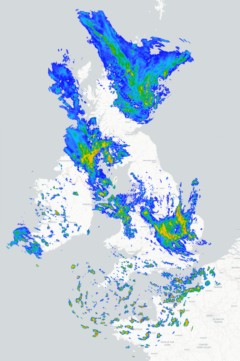
UK Wind Radar
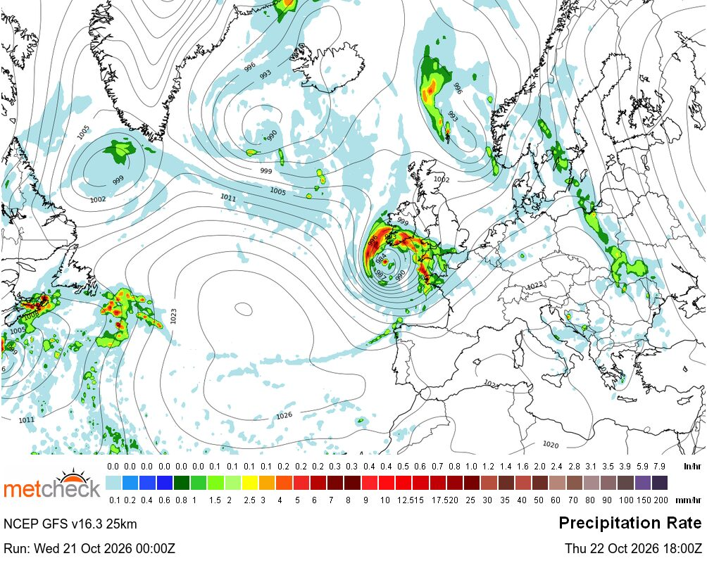
This is the latest regional radar image. We also have filters which allow you to see the type, wind and storm information too.
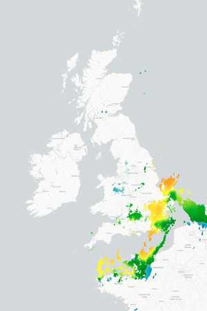
UK Snow Satellite
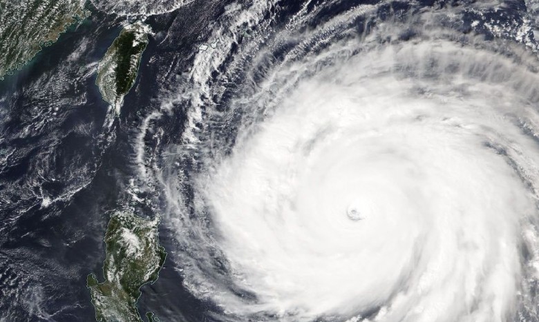
This is the latest regional satellite image. Based on your expected weather you will see other types of satellites available.
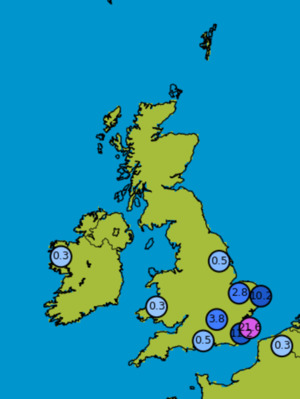
UK Rain Totals
This is the latest observation network for your region. You can see the latest and live weather observations here.
NAMERICA AURORA
This is the latest aurora forecast showing the forecast KP index and chance of seeing an aurora in your region.
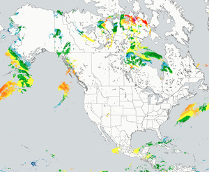
NAMERICA Wind Radar
This is the latest global or continental radar image. We also have filters which allow you to see the type, wind and storm information too.
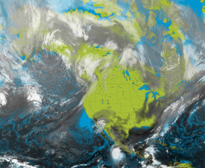
NAMERICA SATELLITE
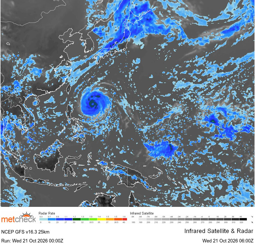
This is the latest global infra red satellite image which is a blend of all the geostationary satellites.
NAMERICA LIGHTNING
This is the latest global lightning detection system. You can see live lightning strikes as well as polarity.
UK Wind Radar
This is the latest regional radar image. We also have filters which allow you to see the type, wind and storm information too.
UK Snow Satellite
This is the latest regional satellite image. Based on your expected weather you will see other types of satellites available.
NAMERICA Wind Radar
This is the latest global or continental radar image. We also have filters which allow you to see the type, wind and storm information too.
NAMERICA SATELLITE
This is the latest global infra red satellite image which is a blend of all the geostationary satellites.
NAMERICA AURORA
This is the latest aurora forecast showing the forecast KP index and chance of seeing an aurora in your region.
UK Rain Totals
This is the latest observation network for your region. You can see the latest and live weather observations here.
NAMERICA LIGHTNING
This is the latest global lightning detection system. You can see live lightning strikes as well as polarity.



 Tamil Nadu 23mm/hr


 Northern T... 51/hr


 Jersey Air... 43mph