Welcome to October! A ridge of high pressure will be extending towards the British Isles from the southwest through today bringing an improvement in conditions following the recent more changeable spell. However, low pressure remains influential further northwest with a brisk west/south-westerly airflow and further Atlantic weather systems waiting in the wings.
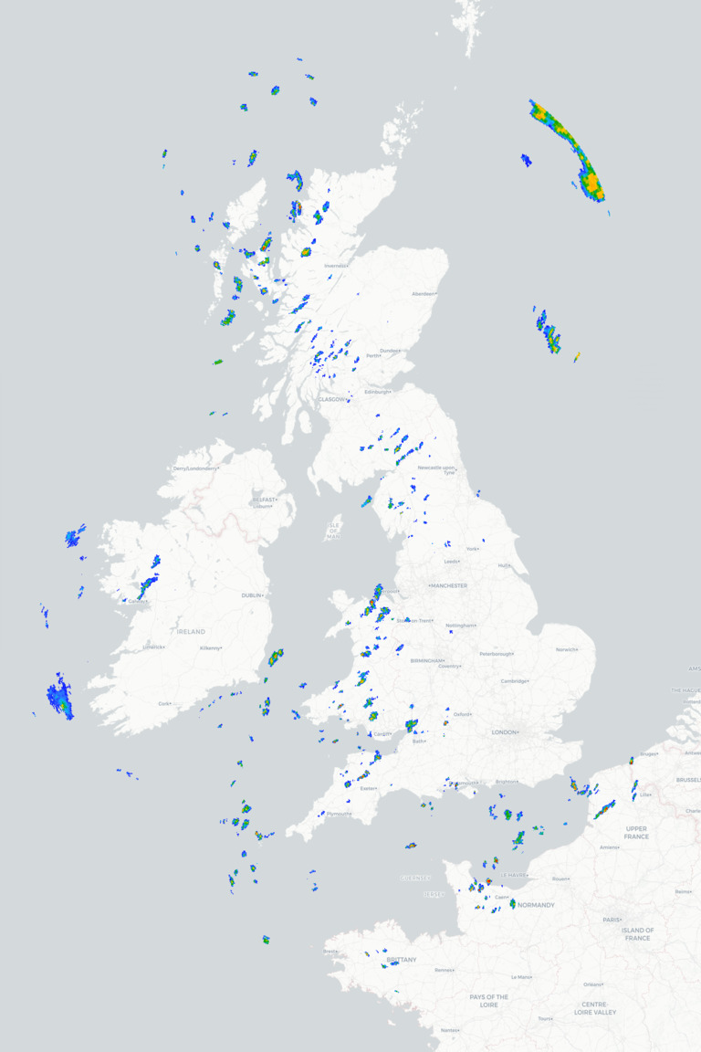
This morning starts largely dry and bright across many parts of England and Wales with some good spells of sunshine, although there will be a few showers around, particularly towards western areas. These should become increasingly isolated through the day leaving many places enjoying a fine afternoon with some pleasant autumn sunshine. Further north there will be a mixture of sunny spells and scattered showers across Scotland, while cloud gradually increases across Ireland and Northern Ireland ahead of the next frontal system. Temperatures will generally reach 14°C to 18°C in the north and west but climb to 19°C to 22°C towards the south and east, so pretty respectable for the start of October.
This evening and tonight sees many central, southern and eastern areas remaining dry with some clear spells allowing temperatures to fall away, although cloud will increase from the northwest as outbreaks of rain spread into Ireland, Northern Ireland and Scotland, perhaps reaching western parts of England and Wales later. Friday then looks rather more changeable across the north and west with further outbreaks of rain and blustery showers, while southern and eastern parts of England should continue to enjoy a good deal of dry weather with some brighter spells and temperatures remaining above normal for early October.
METEOROLOGIST : BARBER Radar ► Airmass ► Visible Satellite ► Rain Scanner ► |



 Good afternoon all!!😀 Sunny and clear early morning but now clouds are bubbling up. Sti...
 Morning all,
It's a bright and sunny mornings, it was clear but there are a few clouds st...
Morning all,
It's a bright and sunny mornings, it was clear but there are a few clouds st...