GFS Brings Beast From The... Err..Added : Thursday at 13:40 A pretty strange situation in the UK and Ireland weather next week as we see a marked cool down to more seasonal temperatures, but the air isn't coming from the direction you would assume.
Normally, for colder weather we tend to look at the North for Arctic maritime air or the East for much colder Polar continental. In fact, we get some pretty standard Polar maritime air coming in from the Northwest but... well, this is why it's unusual.
If you take a look at the chart for Saturday :-
![]()
This is the low pressure area in question. You can see the central pressure is 972mb, but 24 hours later the same low has deepened rapidly off the Southeast coast of Greenland :-
![]()
This intensification pulls in some much colder air down the Western flank of the system from Greenland and the Labrador Strait :-
![]()
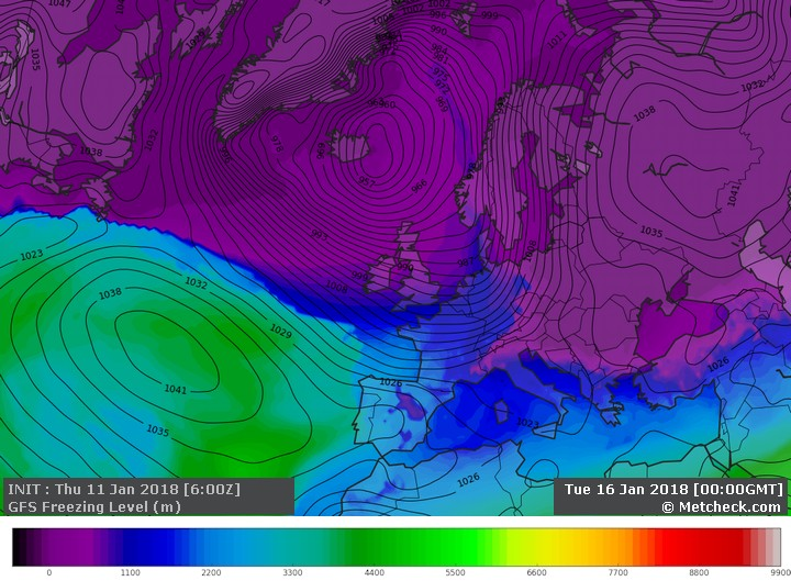
Even by Tuesday we are seeing the colder air rattling across the Atlantic and reaching the UK bringing snow across Northwestern areas :-
![]()
Polar maritime air across the UK isn't uncommon in Winter. In fact, it's probably one of the most common airmasses which affect us, that and returning Polar maritime as air stagnates around low pressure systems.
But, check out the fetch of this system :-
![]()
To see isobars running straight from the Labrador to the UK is pretty uncommon and it's where we tend to look at the global models and think "Well, you have the right idea, but nature and physics won't like that scenario".
If you push colder air quickly over warmer waters then you tend to see a couple of things. The first is that the air in contact with the water warms quickly (we call this boundary layer modification) and the second is that due to the mixing of the layers we tend to see short wave troughs develop. This is where showers start to interact with each other and become a little better organised into bands of showers.
So, use the global models for the time being and a change to colder weather on the cards for next week from the Northwest, but we may have to wait until Sunday/Monday in order to see how the mesoscale models handle this scenario.
METEOROLOGIST : MARSH |