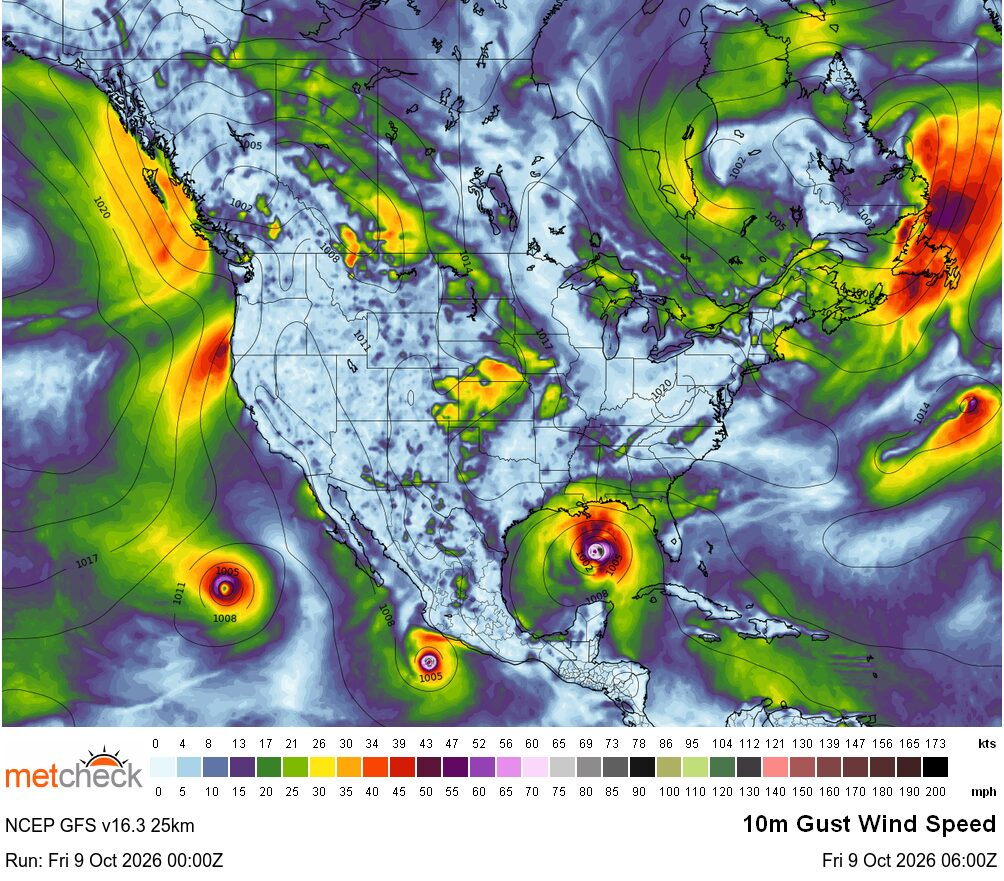
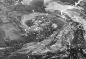
Unsung Heroes : Master of SpinAdded : 8 hours ago Today, we take for granted global weather satellite images like this :-
![]()
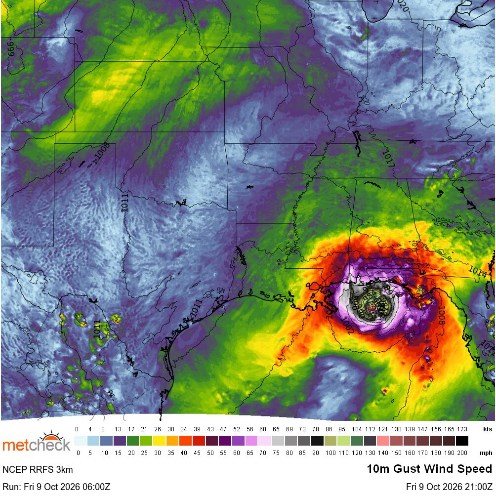
Now, you might think that geostationary satellites like this simply sit at around 36,000km above the earth and just take a picture every so often with a big camera and send it back to us? In fact, the image is made up of hundreds of smaller scanned scanned images which are then merged to create the full image. This allows us to have not just high resolution images, but they can then stay over the same system or location and send back images which we can then loop together, like hurricane trackers for example :-
![]()
Sounds simple right? Now, if I told you that the original satellites were taking these "tiled" images and at the same time, the satellite was rotating at around 100 times a minute, that's rather impressive! The reason for this was so the entire satellite worked as a gyroscope to stay stable in orbit! Imagine spinning at 100 times a minute and taking various pictures of the world in scanned lines and then trying to put them together so you can see cloud and system movements?!
Fortunately, someone was born in 1915 in Eveleth, Minnesota. He was the son of Swedish-speaking Finns John and Anna who moved from Finland to the USA in 1902. He originally wanted to become an engineer, but money limited his university choices, so he attended Winona Teachers' College and became a high-school science teacher from 1938 to 1941.
At the beginning of the Second World War he enrolled in a Civil Air Patrol meteorology course and became fascinated by the subject. He went on to study meteorology at the University of Chicago and taught practical meteorology to pilots. In 1948 he joined the newly formed meteorology department at the University of Wisconsin–Madison.
By the early 1960s, meteorological satellites existed, but they were predominantly low-orbiting spacecraft, but by 1966 NASA was developing the geostationary Applications Technology Satellite.
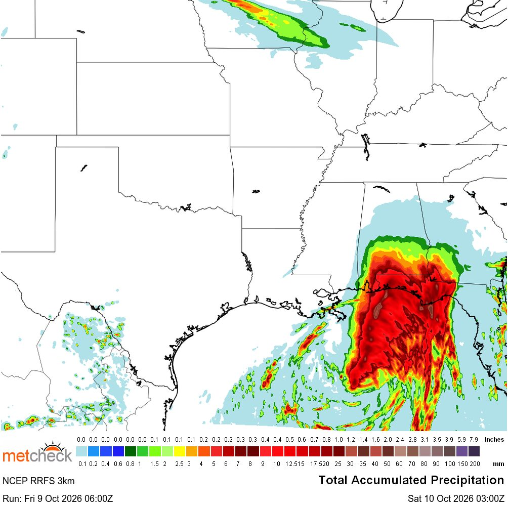
The problem, was piecing together the tiled images so that an entire full disc could be seen. The answer came by using something called The Spin-Scan Radiometer (SSR) and later that year, the ATS-1 launched with the Spin-Scan technology. This ingenious system took into account the satellites rotation speed and then merged images so that weather systems could be tracked. Not just that, but monitoring the movement which allowed things like motion vectors could also be created which went into the weather models :-
![]()
This was all made possible by a man called Verner Edward Suomi. His story didn't end with the fixing the rotating satellites. He went on to develop sounders which allowed satellites to monitor other weather attributes not just on Earth, but also other planets :-
![]()
Verner Suomi continued to work on and develop satellite meteorology, receiving a National Medal of Science in 1976. In 1980 he underwent heart bypass surgery and retired as a SSEC director in 1988, although he retained an office and continued taking an interest in projects until his death in 1995.
So, when you are next looking at a satellite image loop of Europe or the UK, perhaps watching a tropical floater image over a developing hurricane in the Atlantic. This was made possible by the son of Finnish immigrants who grew up during the Great Depression. From schoolteacher, to wartime meteorologist, to creating modern satellite meteorology which we now take for granted.
Verner Edward Suomi, Metcheck salutes you. Thank you for everything to did to better our beautiful science.
Metcheck x |