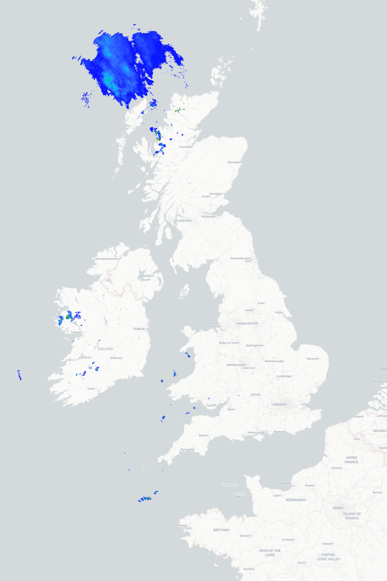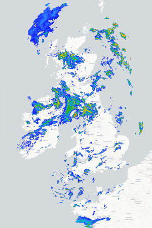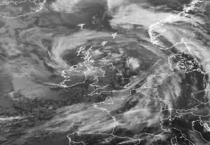
Wednesday will see a marked contrast in the weather across Britain and Ireland as an exceptionally deep area of low pressure, with a central pressure of around 935mb, moves to the south of Iceland. This powerful Atlantic depression will drive a series of weather fronts towards the northwest of the British Isles bringing strengthening south / south-westerly winds and, later, outbreaks of heavy rain. However, a ridge of high pressure extending across southern Britain will help to keep conditions much quieter further south and east, where many places will enjoy another largely dry and bright autumn day.
Wednesday morning starts on a reasonably bright note across much of England and Wales, with some sunny spells developing after a rather chilly night. There may be a few showers across western coasts, but for most places it will remain dry. Further north and west, cloud is increasing across Ireland, Northern Ireland and western Scotland, accompanied by strengthening winds. Outbreaks of rain will begin to affect western Scotland during the morning, becoming more persistent and heavier as the day progresses.
As we head through this afternoon it will turn increasingly wet and windy across north-western parts of the British Isles, particularly western and northern Scotland where heavy rain and gales are expected with gusts reaching 60 to 70mph around some exposed coasts. Northern Ireland and northern England will also become increasingly windy with some showery rain developing. but for much of the south and east of the UK it should remain dry with spells of sunshine. Temperatures will reach around 14°C to 17°C across Scotland and Northern Ireland and 16°C to 19°C across England and Wales but the wind will take the edge off those values.
This evening and overnight sees the wet and windy weather pushing a little further south-eastwards, bringing outbreaks of rain across Scotland, Northern Ireland and eventually parts of northern England and Wales as clearer conditions follow into the far northwest. Southern and eastern England will remain largely dry for much of the night, albeit increasingly cloudy and breezy. Thursday then looks rather unsettled across northern and western areas with further showers or longer spells of rain as that front becomes slow-moving, leaving southern and eastern Britain with the best of the drier and brighter weather.
METEOROLOGIST : BARBER
|