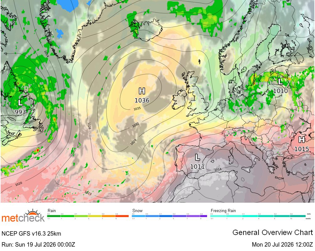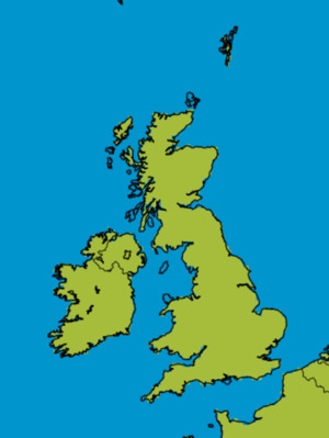
We arrive at the end of the working week with much of the country under a ridge of high pressure and this largely settled outlook is set to continue through to the end of the month with little, if any, rainfall in sight for much of Britain and Ireland.
That ridge is extending a little further south across the country today, so winds are lighter for many, with parts of the northeast in particular set to see a much warmer day compared to yesterday. Once again it is a chilly start, with some rural frost in places, and areas of low cloud have spread into central and eastern regions overnight. This will tend to burn back towards the east coast quite quickly this morning and then for just about all parts it will be another glorious day with blue skies and sunshine.
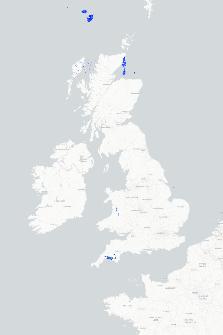
Some high cloud may turn the sunshine hazy at times, with the risk of a shower across the far southwest of Ireland, and some eastern coasts may remain rather dull. For many though it will be fine and warm with temperatures inland widely reaching the mid to high teens, and as high as 22°C or 23°C in places, although it will be cooler around coasts.
It’s worth mentioning pollen and UV levels, which will be high, so remember the suncream if you are outside for any length of time today with the sun now as strong as it is in mid-August.
Tonight and tomorrow offer very little in the way of change. It turns chilly under clear skies tonight across central, northern and eastern regions, with some mist and low cloud forming in places again, but it will be milder towards Ireland and the southwest where there will be more cloud and the risk of a shower. Freshening northerly winds will also bring a few light showers to the far northeast of Scotland and a cooler day here tomorrow, but for most places the fine weather continues into the weekend, although there may be more in the way of cloud at times.
METEOROLOGIST: BARBER
|