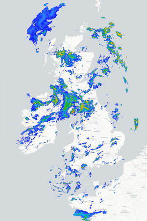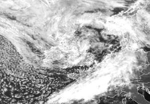
We arrive at the middle of the week with the familiar north-south split in the weather still evident across the British Isles. However, for those in northern regions who have endured weeks of cloudier, cooler and often damp conditions, there is finally some good news. High pressure is beginning to extend its influence further north, bringing the promise of brighter skies, warmer temperatures and more settled weather over the coming days.
For this morning, there is still a fair amount of cloud across northern parts of the UK with some rain and drizzle affecting northern and western Scotland. The difference today, though, is that even here conditions will steadily improve as the day progresses with the damp weather easing and the cloud gradually breaking to allow some sunny spells to develop. Meanwhile, across the rest of Britain and Ireland, it is set to be another fine and largely sunny day. Any early low cloud will soon burn away and although some fair-weather cloud will develop, perhaps bringing the odd isolated shower across parts of northern England, most places will enjoy lengthy spells of sunshine. It will become increasingly warm or hot with temperatures widely reaching the mid to high twenties. Across central and southern England, maximums of 30°C to 33°C are expected while northern Scotland remains considerably cooler. Sea breezes will also help keep coastal areas feeling more comfortable.
A fine evening and night follow for most places although some mist patches and areas of low cloud may form by the early hours. Across the far northwest of Ireland and Scotland a strengthening breeze will bring increasing cloud and the risk of a little rain or drizzle and these conditions may persist into tomorrow. Elsewhere, Thursday looks set to be another fine day with plenty of sunshine and very warm or hot conditions. Temperatures are expected to edge a little higher still with UV levels remaining high or very high.
METEOROLOGIST : BARBER
|