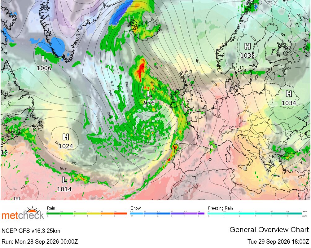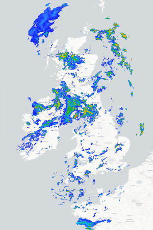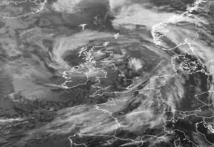
A rapidly deepening area of low pressure will be pushing northwards to the west of the British Isles today tightening the pressure gradient and bringing an increasingly strong south/south-easterly airstream across the country. It will turn wet and windy in the west later but ahead of this some unusually warm air will be drawn northwards across many central and eastern parts of the UK.
Tuesday morning starts rather cloudy across many southern areas with some patchy drizzle and mist around whilst northern regions start off on a clearer and cooler note. A band of cloud with the odd shower will continue to push northwards today so much of northern Britain will turn cloudier although the far north and northeast of Scotland will remain mostly fine. Meanwhile, skies will brighten up in the south as that cloud clears and some warm sunny spells will develop across much of central and southern England by this afternoon. Temperatures today will generally reach 17°C to 21°C but it will become very warm across central, eastern and south-eastern England with highs of 23°C to 26°C.
Further west cloud will thicken with outbreaks of rain beginning to push into Ireland and western parts of Britain this afternoon, accompanied by strengthening south/south-easterly winds with gales developing in some exposed western areas. This evening and tonight sees that wet and windy weather spreading further north and east across the British Isles with some heavy and persistent rain in places and strong to gale force winds, particularly towards the west. Eastern areas remain drier for longest before the rain arrives, while temperatures remain unusually mild overnight. Wednesday then sees the rain sweeping eastwards followed by brighter, fresher conditions with sunny spells and scattered showers developing from the west. The showers will be heaviest and most frequent in the northwest where the winds will also remain strongest, although generally the winds will not be as strong as today.
METEOROLOGIST : BARBER
|



 Good morning,
Maximum temperature that I recorded yesterday 19c,
Minimum night temperatu...
Good morning,
Maximum temperature that I recorded yesterday 19c,
Minimum night temperatu... Good Morning from Honiton.
The day will begin with a grey sky with a 40% chance of light ...
Good Morning from Honiton.
The day will begin with a grey sky with a 40% chance of light ... Morning all. An overnight low of 4 degrees after a high of 15 degrees at lunchtime yesterd...