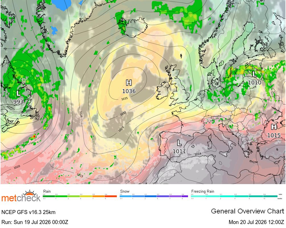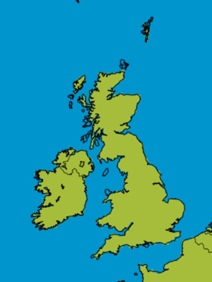
Quite a variation in temperatures across the British Isles today with some rather warm weather developing towards the south and east of the country whilst, to the north of a frontal system trailing from Wales to northeast England, it is much cooler with temperatures struggling to make double figures.
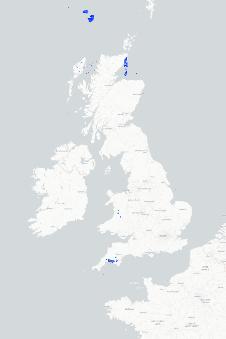
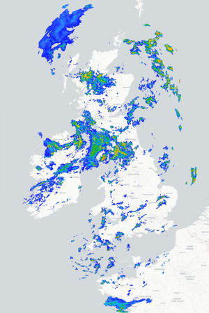
A band of cloud and showery rain marks the location of that frontal system this morning, extending from southeast Scotland and northeast England down towards Wales, with the rain more persistent towards the northeast. That band will barely move today, perhaps edging slightly further south by this afternoon to allow drier conditions to develop across southeast Scotland, but at the same time some heavy showers could develop across parts of Wales, central and western England.
To the north and south of this frontal system the weather will actually be pretty similar with plenty of dry weather around, some good spells of sunshine and just the smallest risk of a shower, although a few more showers will feed into northern Scotland. The difference will come in the form of temperatures with maximums of a pleasant 19°C to 22°C towards central and south-eastern parts of England, but for Scotland it will be much cooler with values nearer 9°C to 11°C at best.
That band of cloud and showery rain will edge a little further south this evening and tonight, but the showers will tend to ease and become more scattered. To the north and south it will remain dry and, under clear skies in the north, it will turn rather cold with some frost forming in places. Tomorrow sees that cooler air continuing to make its way further south as that weak front continues to slip south. It will be brighter for a time further north, but more cloud and rain will return to the north of Scotland before sinking slowly south.
METEOROLOGIST : BARBER
|