When Forecasts Bust...Added : Tuesday at 10:00 Hello, we're Metcheck and sometimes we get the forecast wrong... Hardly the best selling point, but sometimes forecasts do go wrong and it's our job to explain why...
The story really starts yesterday afternoon when we were looking at the observation tephigrams across Western areas of England. The soundings looked rather impressive with what we call a well "primed" atmosphere, but when the atmopshere is like this, it needs a "trigger". Something to kick start the convective process and tap into the energy above. But, there was nothing...
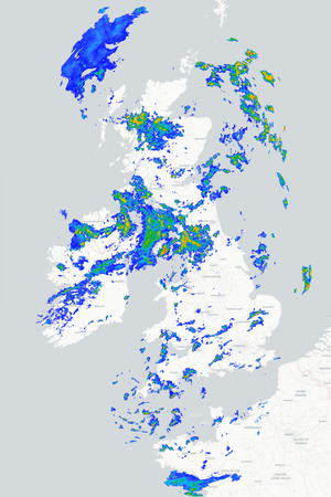
As per usual, we check around 20 different models each day, looking at ensembles and various levels in the atmosphere, but none were showing thunderstorms, then... one developed on the radar.
At this point, we knew the system would tap into plenty of energy and the thunderstorm advisory was issued, but even so, the storm still tracked further South than the updated models suggested.
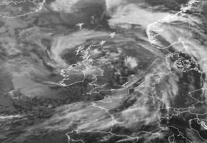
The system was caused by a cold front to the North, ahead of this was a plume of instability around 700mb with a lobe of very warm theta-w air running to the South of it. But, from the surface to around 750mb there was a strong cap, unlikely to be broken by heating or sea breezes, but break it did.
Our best guess, is that the combination of funneling in the Bristol Channel, sea breeze and orographic uplift around the Mendips was stronger than any model suggested or expected.
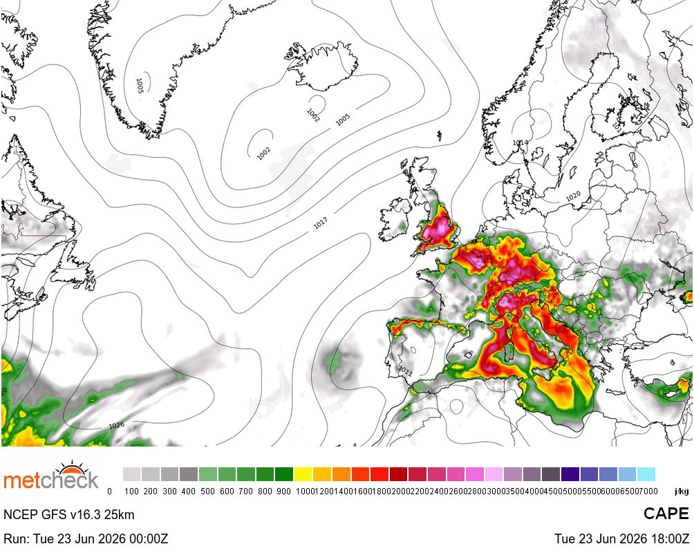
Again, this afternoon we have another primed atmosphere across Wales and Northern England and CAPE values well above 1000k/kg :-
![]()
But, we also have a very strong cap at surface levels. If you look at the GFS, you'd expect to see thunderstorms across Northern areas with this amount of CAPE but... :-
![]()
Nothing... You see, the atmosphere in these situations is almost a tug of war between the CAPE wanting to generate uplift and the cap (or (CI) convective inhibition) which stops it. Yesterday, us and the weather models got the cap wrong, sorry about that.
Today, we might also get the cap wrong, but at least we are letting you know that if thunderstorms do develop across Northern and Northwestern areas later, then it means something, somewhere forced that cap to break.
Don't get me wrong, if Metcheck were minicab drivers, then if you asked to go to Battersea then we wouldn't drop you off at Edgware every day, but for the aspiring meteorologists out there, you'll learn in the first year of met training that this is an inexact science. A beautiful science, but an inexact one too. You are allowed to get it wrong, but you always need to learn, and explain, why...
METEOROLOGIST : MARSH |