Cloudwatcher Sent in this image from -33.7473/150.6463
Today will be become partly cloudy with the chance of a shower or thunderstorm this afternoon ! Light wind will pick up to possibly a moderate easterly with a forecast high of 25 c , . Probably warmer !
Have a good week ahead everyone 🤞
Image sent in by Cloudwatcher
Today will be become partly cloudy with the chance of a shower or thunderstorm this afternoon ! Light wind will pick up to possibly a moderate easterly with a forecast high of 25 c , . Probably warmer !
Have a good week ahead everyone 🤞
Stu (by the Thames) Sent in this image from Tilbury
Afternoon all...there's been a couple of light showers in the last half hour but something a bit heavier is heading this way currently. Temperatures are at 13c in a lightly moderate NE'rly.
Image sent in by Stu (by the Thames)
Afternoon all...there's been a couple of light showers in the last half hour but something a bit heavier is heading this way currently. Temperatures are at 13c in a lightly moderate NE'rly.
Ian near Rye Sent in this image from 51.0174/0.7062
A bit of a break in the showers, sliver of sunshine, enough to create this partial rainbow, its getting colder as well , now down to 9.4*C. Heavier bursts , with 8mm in the pot so far today. . No complaints about the rain, but the temperature is 🥶 compared to the last few months , especially for softy southerners 😂
Image sent in by Ian near Rye
A bit of a break in the showers, sliver of sunshine, enough to create this partial rainbow, its getting colder as well , now down to 9.4*C. Heavier bursts , with 8mm in the pot so far today. . No complaints about the rain, but the temperature is 🥶 compared to the last few months , especially for softy southerners 😂
“Indeed, IAN...around an inch of rain in some parts of E Kent l see...also see a(not verified) picture of a waterspout off the Deal coast earlier.”
David from L.E Commented Yesterday at 18:32
“Nasty looking beast. My friend Sue’s daughter (my goddaughter) had a birthday yesterday and the family were intending to go for a good walk to enjoy the trees. That of course was cancelled as the Canterbury area was very wet indeed.”
Cloudwatcher Sent in this image from -33.7473/150.6463
Hello again everyone ,
Today was mostly fair , this is about as threatening things got this afternoon ! Wind was light to gentle variable tending E/ NE this afternoon and we warmed up to 26.2 c at 2 39 pm this afternoon. The house has remained mild after the last few days thankfully !
A near repeat of today with the forecast , maybe some early fog( or high fog ) then partly cloudy with a possible late shower or storm . 11 c the forecast low again !
Image sent in by Cloudwatcher
Hello again everyone ,
Today was mostly fair , this is about as threatening things got this afternoon ! Wind was light to gentle variable tending E/ NE this afternoon and we warmed up to 26.2 c at 2 39 pm this afternoon. The house has remained mild after the last few days thankfully !
A near repeat of today with the forecast , maybe some early fog( or high fog ) then partly cloudy with a possible late shower or storm . 11 c the forecast low again !
A bit of an effort this morning, but worth it with the sunshine. Chilly but not as cold as it was yesterday afternoon. Heard my first Redwing of the autumn and a noisy jay as relative rarities.
Image sent in by David from L.E
A bit of an effort this morning, but worth it with the sunshine. Chilly but not as cold as it was yesterday afternoon. Heard my first Redwing of the autumn and a noisy jay as relative rarities.
When Metcheckers aren't getting their latest weather fix on the site they tend to be taking stunning pictures of clouds. After all, we all love looking at beautiful sunsets, mist on a spiders web and clouds shaped like thingies don't we?
Take a look at the latest images uploaded and if it inspires you to take some picture then please feel free to upload them by using the feature at the bottom of the page.
Taken a great weather photo?
It's so easy to upload it to our gallery. All you have to make sure is that the image is a jpeg and on your hard drive. Then select the image, click upload and we'll create a thumbnail and full size image for all Metcheck viewers to enjoy.
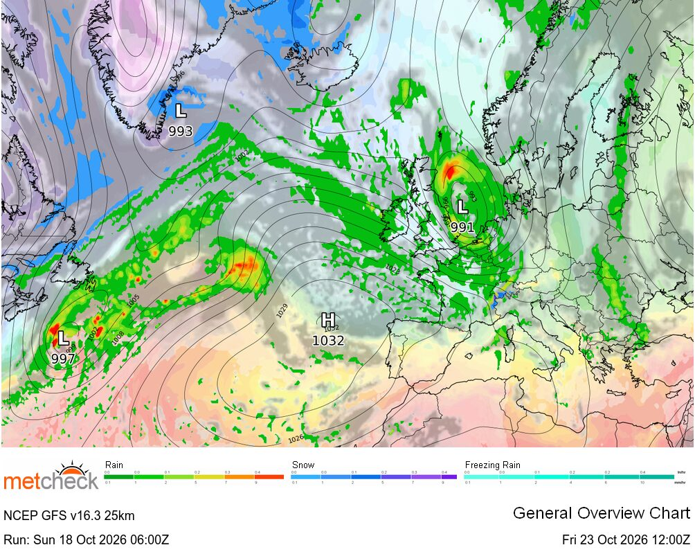
Forecast models disagree over the depth and track of a developing Atlantic depression later this week with the potential for some very wet and windy weather across Britain and Ireland...
Added : 15 hours ago
GLOBAL DISCUSSION
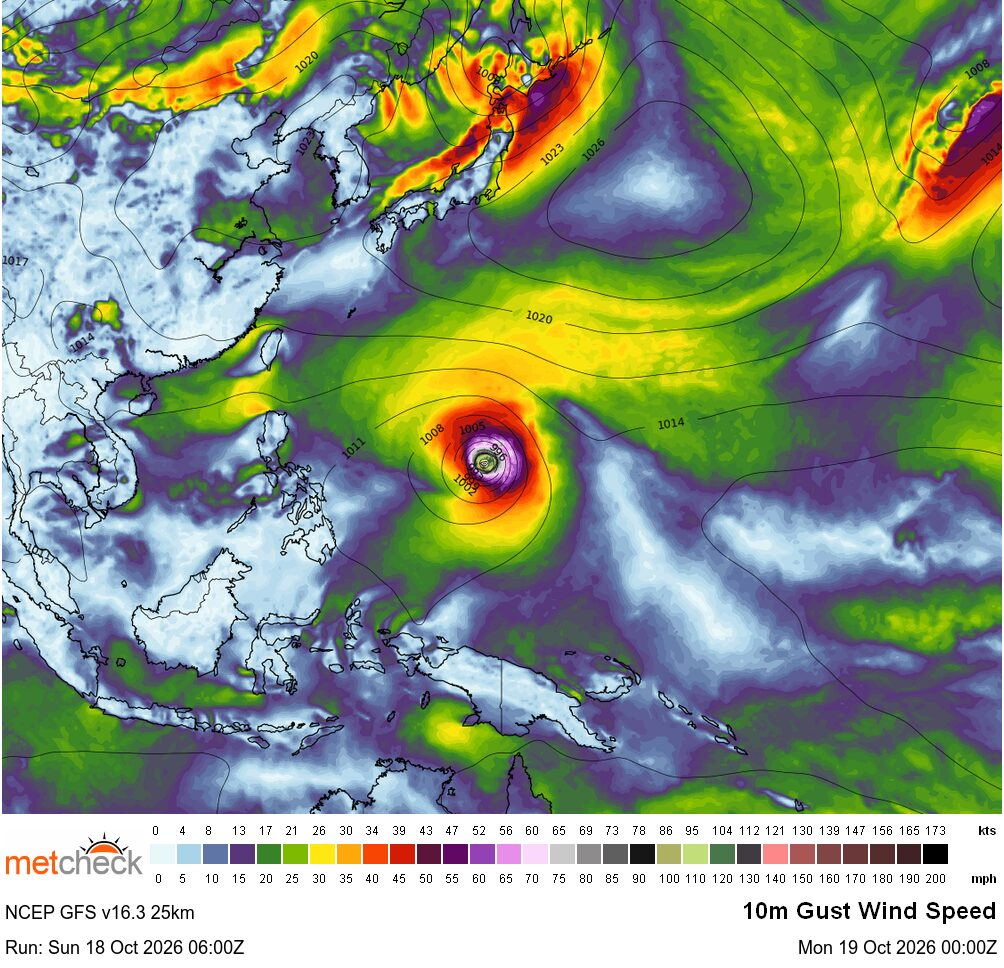
The western Pacific is set to experience another Category 5 typhoon as Champi tracks west-northwestwards, with Taiwan potentially in its sights later this week...
Added : 18 hours ago
EYE IN THE SKY
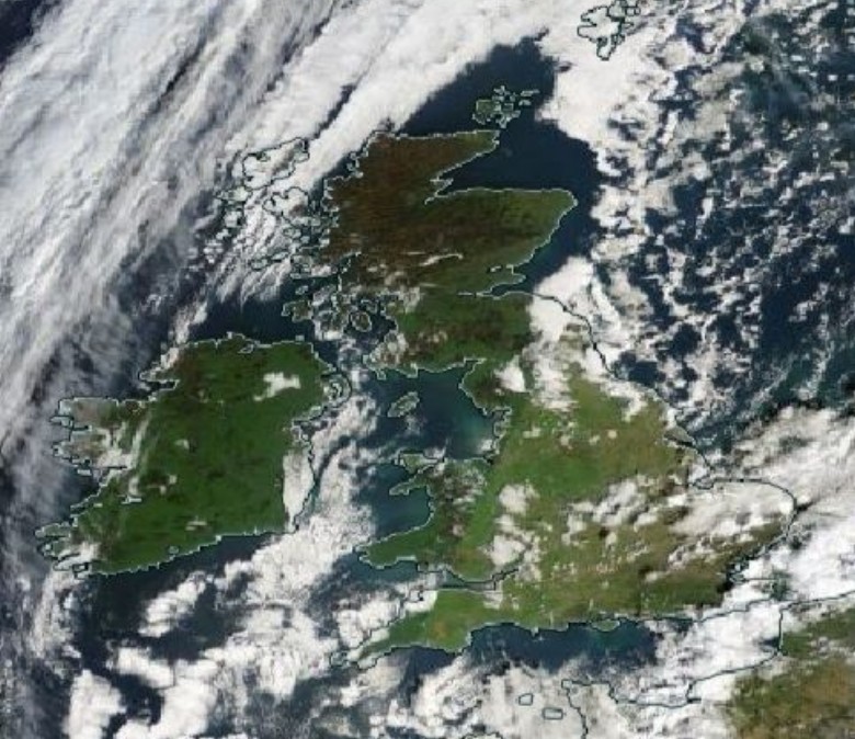
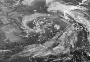
Sunshine across much of the British Isles, Typhoon Champi intensifying in the western Pacific and glorious spring weather in New Zealand...
Added : 13 hours ago
LIVE DISCUSSION
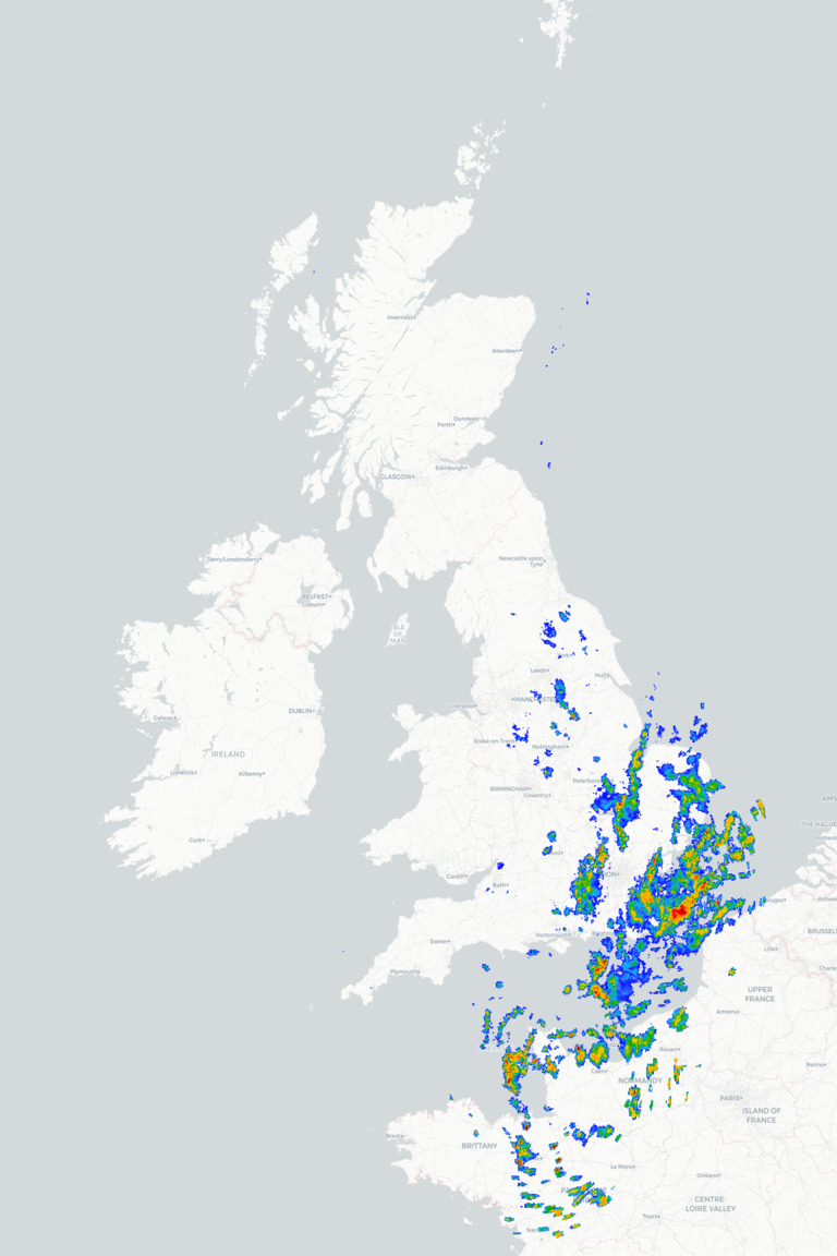
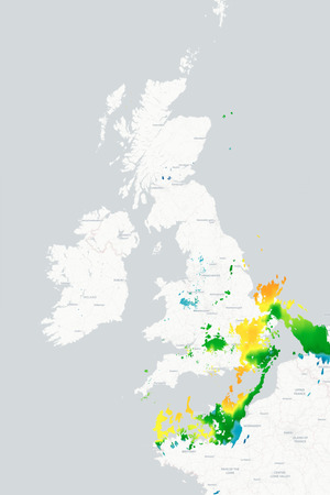
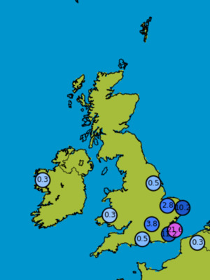
A dry and fine end to Sunday for many places but showers or longer spells of rain continue towards southeast England thanks to the north/northeast wind...



 New South ... 21mm/hr


 Chihuahua 69/hr


 Glasgow Ai... -1°c