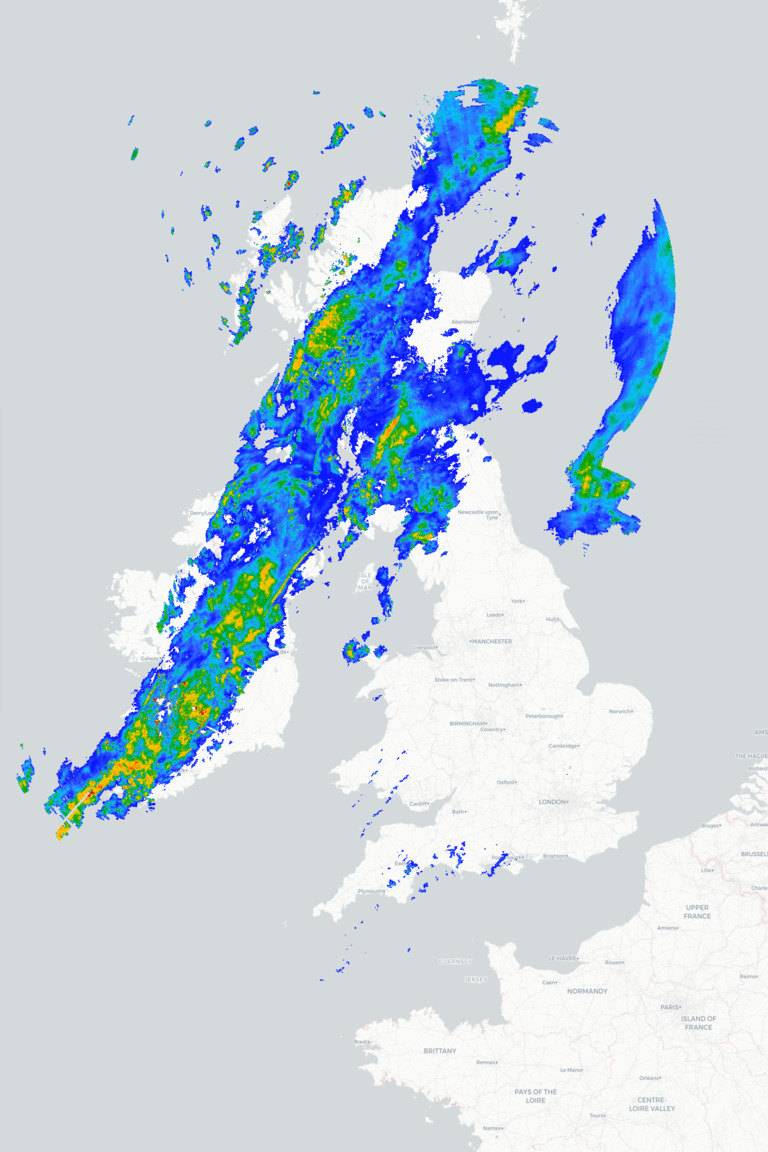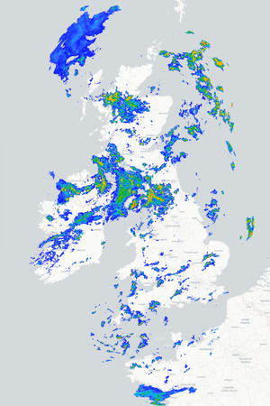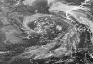
Thursday will bring another rather mixed day across Britain and Ireland as a cold front moves erratically south-eastwards across the country bringing a band of rain with it. Behind the front, a cooler and fresher airmass will spread across the British Isles, bringing sunny spells and showers, particularly across north-western areas. However, southern and eastern England will remain rather mild ahead of the front, with temperatures reaching the low twenties in places.
Thursday morning starts wet across parts of Scotland, Northern Ireland and northwest England with a band of rain, locally heavy, slowly sinking south-eastwards. Further south and east, much of England will start dry and mild with some bright or sunny spells, while clearer conditions and scattered showers develop across the far northwest. By this afternoon and that rain band will make its way a little further southeast into parts of Wales and northern England with the clearer, more showery conditions in the northwest following on behind. Meanwhile, for much of southern and eastern England it remains fine with sunny spells which will help temperatures up to highs of 20°C to 22°C, but it will be cooler further north and west.
This evening and tonight sees the rain gradually pushing southeast across England and Wales although it will linger across East Anglia and southeast England. Clearer and cooler conditions will follow with temperatures widely falling into single figures and a few showers continuing in the north and west. Friday then looks noticeably cooler for everyone with sunny spells and scattered showers, these most frequent across northern and western areas, while southern and eastern England should be mainly dry and bright once early cloud and rain clears.
METEOROLOGIST : BARBER
|



 Morning all. Top temp yesterday of 17 degrees but it was very windy. Rain in the late eve...
 Good morning from Jersey
A windy start this morning so far. But this will change by mid...
Good morning from Jersey
A windy start this morning so far. But this will change by mid...