Wow, where do we start with the unprecedented May heatwave that has affected parts of the UK over the last week or so? Let's take a look at some of the new records that were set. A new spring maximum temperature record of 35.1°C was recorded at Kew Gardens in London: the highest May minimum temperature record was broken on three successive nights and now stands at 21.4°C (Camborne, Cornwall): the hottest ever Bank Holiday was recorded (34.8°C at Kew Gardens): and there were six consecutive spring days with temperatures exceeding 30.0°C somewhere in the British Isles.
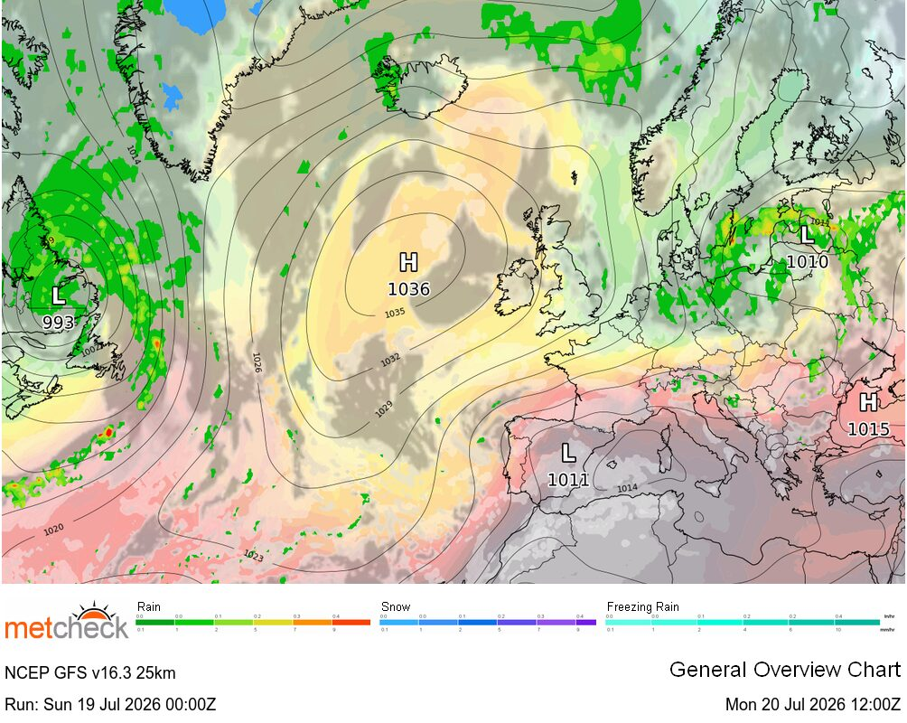
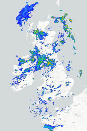
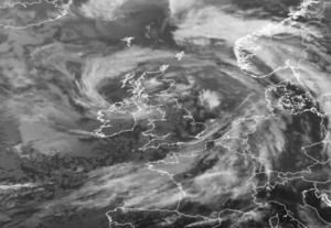
A historic spell of weather but this has all come to an end now and, as we head into meteorological summer this week, the weather turns cooler and more unsettled - which isn't unusual if you take a look at the weather singularities which highlight early June as a traditionally more changeable period. The reason for the change is that the area of high pressure that brought the exceptional hot spell is now moving away, allowing a series of Atlantic low-pressure systems to move in from the west. These systems will bring showers or longer spells of rain to many areas at some point during the coming week or so but, as is so often the case, it will be northern and western regions that are likely to see the worst of the unsettled conditions and the highest rainfall totals.
There will still be some drier and brighter spells at times though, with the best of these towards the south and east of the country. There are also some signs that high pressure to the south may try to ridge back in as we head towards the second week of June, but confidence is low and there is certainly little sign of an imminent return to the hot weather (which may be good or bad news depending on your perspective!).
METEOROLOGIST : BARBER
|



 Update
A good day with a strong breeze, so not too hot .
Played golf ⛳️ and cond...
Update
A good day with a strong breeze, so not too hot .
Played golf ⛳️ and cond... Evening,
Well it's been a very pleasant day, some cloud early this afternoon but now a su...
Evening,
Well it's been a very pleasant day, some cloud early this afternoon but now a su...