Today’s weather is starting partly cloudy and quiet, with some sunshine here and there, but don’t forget your umbrella because there might be some rain showers popping up.
Some of those showers could be pretty heavy, so be prepared!
The wind is also going to pick up and blow a bit stronger as the day goes on, coming in from the west.
If you’re heading outside, the top temperature should get up to around 16°C, so it’s a good idea to wear something light but also have a light jacket just in case.
Have a terrific day folks. 🌂
Reported
Tuesday 21 October 2025 : 05:39
Temp.
51 °f
Wind
Cloud
60%
Rain
0In
Pressure
29.29 In
21 Oct 06:15
Mike TQ1 reported
Mike O.S.B.'s Report is from TQ1
Good Morning everyone. Here is my Weather Report for Tuesday October 21st. 2025
-
PAST 24 HOURS
Strongest Wind Gust (m.p.h.): 31.3
Maximum Temperature (Deg. c): 17.0
Minimum Temperature (Deg. c): 12.0
-
CURRENT WEATHER CONDITIONS
Barometric Tendency: Steady
Dew Point (Deg. c): 11.5
Ground Temperature (Deg. c): 13.0
Sea Temperature (Deg. c): 15.4
Sea Wave Height in Tor Bay (Feet): 0.8 to 1.2
Sea State: 2
Visibility (Miles): 7.7 miles
Remarks: None
-
SUNRISE & SUNSET TIMES
Sunrise (a.m.): 7:47
Sunset (p.m.): 18:10
-
LITURGICAL
Day on the Liturgical Calendar: Tuesday of Week 29 in Ordinary Time
Today’s Liturgical Classification: Feria
Liturgical Colour: Green
Today’s Gospel Reading: Luke 12: 35 - 38
‘Blessed are those servants whom the master finds awake when he comes.’
-
♰ Dominus vobiscum ♰
Reported
Tuesday 21 October 2025 : 06:15
Temp.
53 °f
Speed
11 mph
Wind
Rain
0In
Pressure
29.29 In
21 Oct 06:16
Anne St.Clement reported
Anne 's Report is from St.Clement
Good morning from Jersey
Forecast is for some rain at times with a light breeze during the day . The rain will be light compared to yesterday . A maximum temperature of around 15 degrees.
Will not see any improvement for the next few days . Have a good day .
Image sent in by Anne
Good morning from Jersey
Forecast is for some rain at times with a light breeze during the day . The rain will be light compared to yesterday . A maximum temperature of around 15 degrees.
Will not see any improvement for the next few days . Have a good day .
Maximum temperature yesterday 16.2c, cloudy with outbreaks of rain, Minimum night temperature 11.0c, Total rain fall in 24 hrs 10.0mm,
Temperature at time of post 11.8c, mostly cloudy sky Wind speed F2, S/West,
R-H 94%, Sir Pressure trend steady, Have a nice day.
Reported
Tuesday 21 October 2025 : 06:20
Temp.
51 °f
Speed
15 mph
Wind
Rain
0In
Pressure
29.18 In
21 Oct 06:54
Storm Blackburn reported
Storm Tracker's Report is from Blackburn
If you are wondering what happened to the hurricane reports well I’m still typing them out and I’m using hurricane tracker app and Microsoft word document to do the work on .
This is going to take some time but please be patient.
Thank you
Reported
Tuesday 21 October 2025 : 06:54
Temp.
51 °f
Speed
6 mph
Wind
Cloud
95%
Pressure
29.18 In
21 Oct 07:56
Penny YO21 reported
Penny's Report is from YO21
Much improved after yesterday. Looking almost decent. The air still very damp though.
Image sent in by Penny
Much improved after yesterday. Looking almost decent. The air still very damp though.
Morning all...it's a bright start to Tuesday and it's looking a not too bad day ahead, maybe a shower later. A current temperature of 12.0c in a 11mph SW'rly after a low of 11.7c.
Image sent in by Stu (by the Thames)
Morning all...it's a bright start to Tuesday and it's looking a not too bad day ahead, maybe a shower later. A current temperature of 12.0c in a 11mph SW'rly after a low of 11.7c.
A much better start than yesterday with even some patches of blue sky visible and the clouds are much higher and appear to be empty. Still chilly in the breeze.
On this very day in 1805 Nelson and his lads gave the French and Spanish a good seeing to at Trafalgar. I shall raise a glass to Horatio and the lads after golf. My brother-in-law is Spanish (which doesn't make him a bad lad) and he tells me that at school they were taught that they won !!!
Reported
Tuesday 21 October 2025 : 08:09
Temp.
51 °f
Speed
20 mph
Wind
Cloud
75%
Rain
0In
Pressure
29.18 In
21 Oct 08:11
Mike TQ1 reported
Mike O.S.B.'s Report is from TQ1
The sky at dawn this morning. Since then the Clouds have continued to break up and clear following an overcast night.
Image sent in by Mike O.S.B.
The sky at dawn this morning. Since then the Clouds have continued to break up and clear following an overcast night.
Good morning all!!😃Getting my report in before I tackle the backlog of orders. It's brighter this morning with broken cloud. Very damp underfoot though after some overnight rain. There is a cat near us who is so like ours that died I thought I was seeing a ghost in the garden the other morning!! Looks like it could be chilly one on Thursday with quite a bit more rain to come and some very windy weather apparently. Stay safe all and have a lovely day😊😘🤗
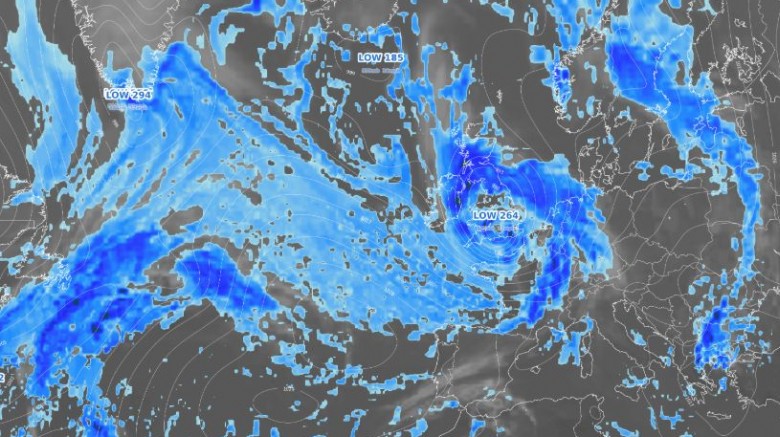
The models starting to come to an agreement over the system with the strongest winds along the Southern flank...
Added : 18 hours ago
GLOBAL DISCUSSION
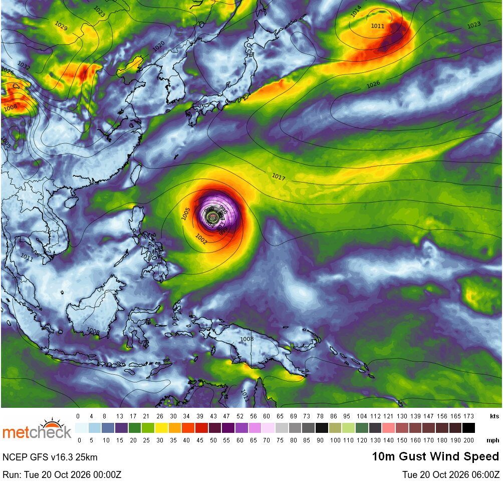
Super Typhoon Champi continues to strengthen in the West Pacific with eyewall replacement cycles starting...
Added : 19 hours ago
EYE IN THE SKY
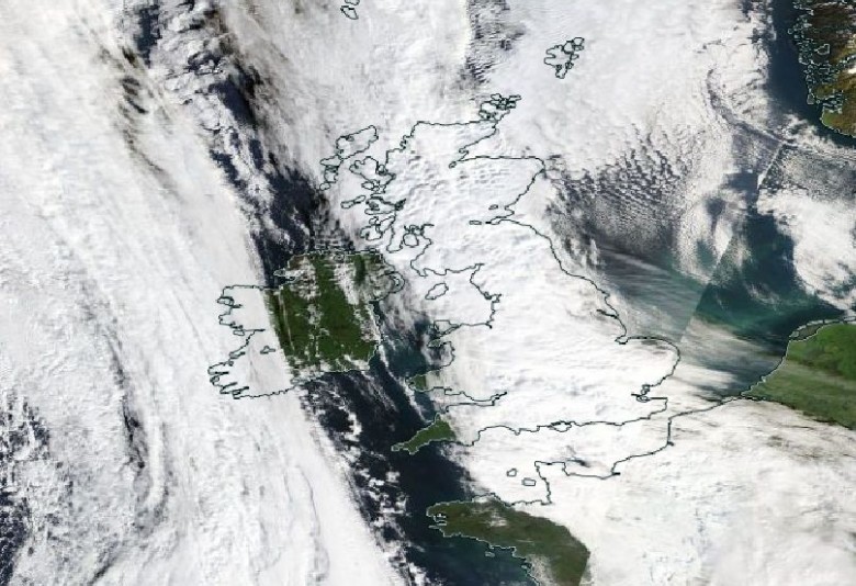
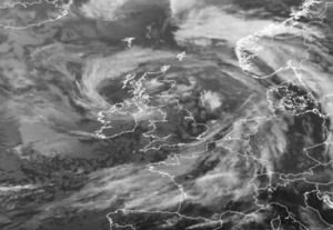
Super Typhoon Champi in the West Pacific, high pressure across Scandinavia and plenty of sunshine and the British Isles with rain across Central and Western areas...
Added : 14 hours ago
LIVE DISCUSSION
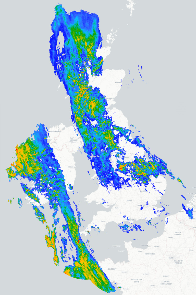
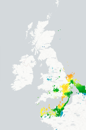
Rain across...well, most places... A wet end to Tuesday across Northern and Western areas of the UK...



 Al Mahrah 25mm/hr


 Northern T... 51/hr


 Kelly Bray 5.08mm