Atlantic Ridge WeekAdded : Yesterday at 11:45 When it comes to the weather regimes or patterns across our part of the world, we have four main patterns which we tend to look for. These shouldn't be confused with airmass types like Tropical Continental etc, but the four main patterns tell us what "type" of weather we can look forward to.
The first is NAO+ or Positive North Atlantic Oscillation. This is where we have an unsettled scenario with low pressure near Iceland and high pressure across the Azores. The second is NAO- or Negative North Atlantic Oscillation and this is the opposite and tends to bring in weather from the East. The third is Northern Blocking, this is where high pressure sits to the Northeast or East of the UK and deflects low pressure systems away from us.
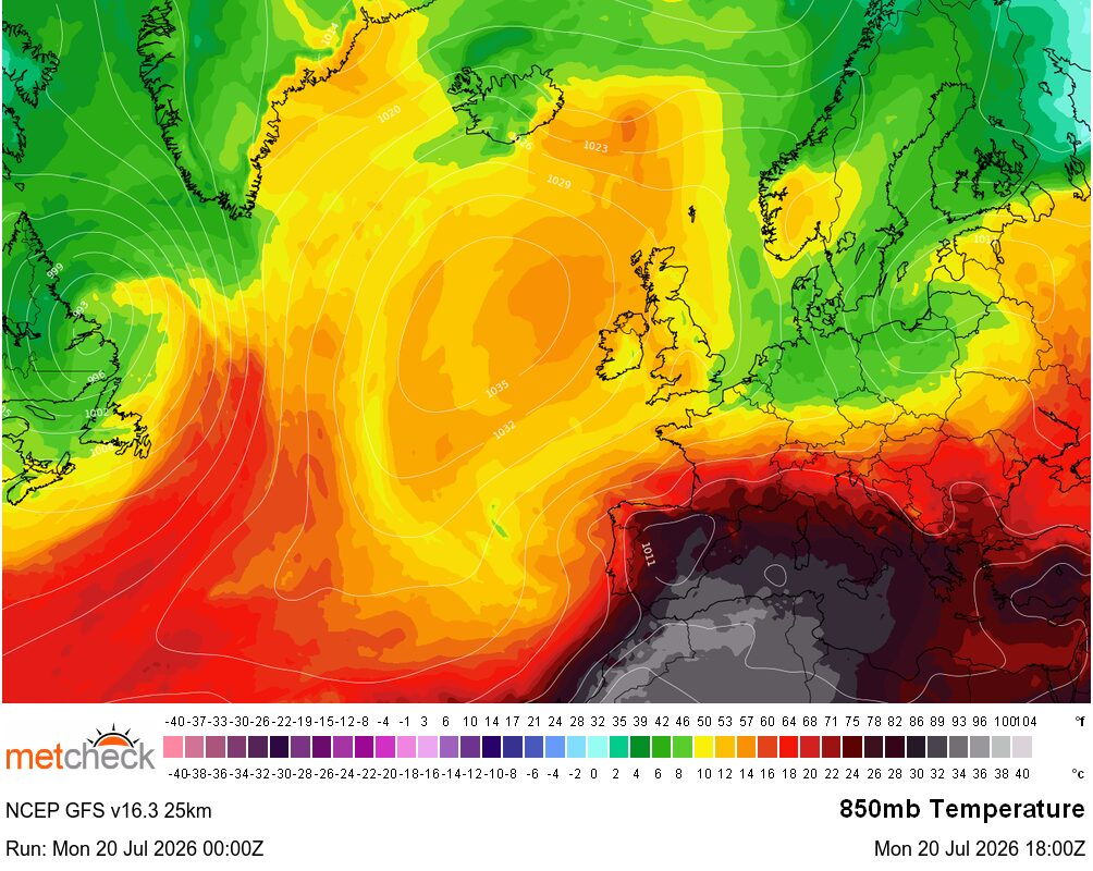
The fourth, is what we have now :-
![]()
This is the Atlantic Ridge pattern and this is where high pressure sits stubbornly to the West of the UK and cooler air comes in around the system with the warmest weather in the West.
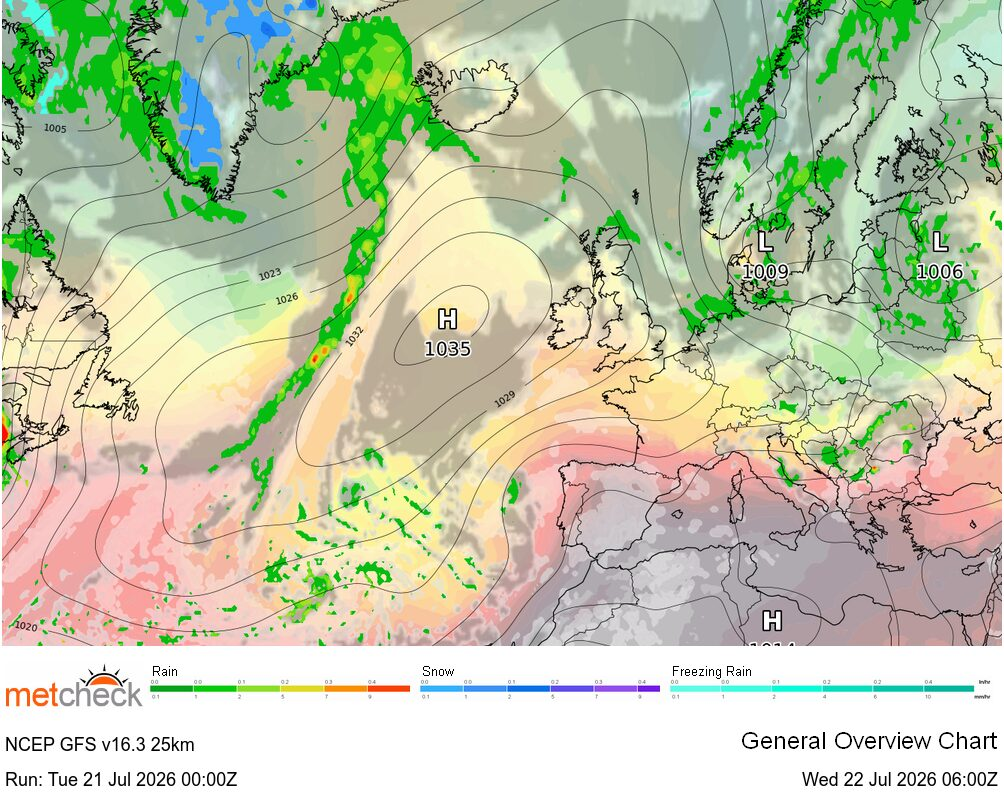
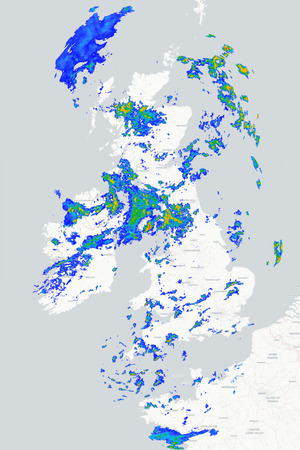
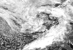
This is a pretty good textbook example of this regime and later this week we see the ridge weaken a little which allows low pressure to track in from the Northwest with showers moving across the UK :-
![]()
When weather patterns or regimes move on, they tend to have one or two options. The Atlantic Ridge either flattens and we move into a NAO+ pattern, or the ridge migrates to the North or East and we end up with a Northern Blocking pattern.
Whilst weather models tend to be good at forecasting the pattern change, the best tool is to expect the most common pattern which you have seen in the last couple of months. In our case this year, this is the Blocked pattern.
So, an Atlantic ridge this week with cooler weather and showers later, but our money is on the block returning into August...
METEOROLOGIST : MARSH | 


 17:15, 23.8C Has been mostly cloudy but a bit more sun has started to poke though from mid...
 Well it's been quite a cloudy day but with quite a few bursts of sunshine, but a bit coole...