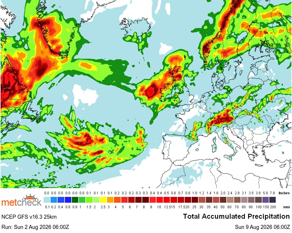
Why Southern Britain Stays DryAdded : Yesterday at 12:35 The last few weeks have often been characterised by a northwest/southeast split in the weather across the British Isles and, if we take a look at the forecast rainfall chart out to next weekend, it looks as though this week will continue that theme :-
![]()
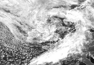
Yet, if you look at some of the synoptic charts for the coming week, you could be forgiven for expecting a little more in the way of rainfall across England :-
![]()
![]()
At first glance, the charts for the middle of the week appear rather contradictory. Surface pressure remains relatively low across the British Isles and the jet stream is directed towards the UK, so why is there still so little rain expected across southern Britain?
The answer lies in the positioning of the upper-level pattern. Although the jet stream passes close to the UK, its strongest core is forecast to extend from northern France through the Low Countries and into Scandinavia. This places southern Britain on the less favourable side of the jet for large-scale uplift, with the strongest upper-level divergence remaining to our east :-
![]()
At the same time, 500mb heights remain relatively high across southern Britain, indicating that a weak ridge is still exerting its influence. While this ridge is not strong enough to deliver settled, high-pressure conditions, it is sufficient to suppress widespread cloud development and inhibit the formation of organised bands of rain.
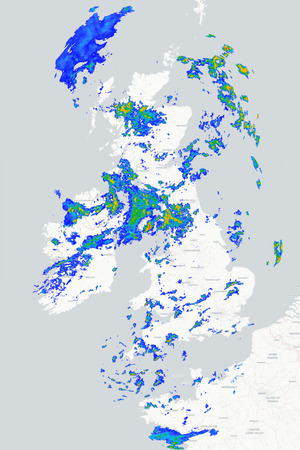
Instead, the more unsettled conditions will be focused across Scotland, Ireland, Northern Ireland and parts of northern England, where a west or northwesterly flow will bring showers and occasional longer spells of rain. As these showers drift southwards, they are expected to become increasingly scattered and lighter with many central and southern areas remaining dry :-
![]()
So, despite the appearance of relatively low pressure on the charts, the atmosphere simply lacks the dynamical support needed to produce widespread rainfall across southern Britain. It is another reminder that pressure patterns alone rarely tell the full story and that understanding the position of the jet stream and the upper-level flow is often the key to explaining why some parts of the country remain stubbornly dry while others continue to see frequent spells of rain.
METEOROLOGIST : BARBER |