All About RetrogressionAdded : Monday at 12:12 As we head into meteorological autumn it's the time of year meteorologists start to look for recurring weather patterns in the models and whether there is any hint as to not only the coming season but also into Winter.
It's now a well known fact that El Nino for 2015 looks set to be a particularly powerful and strong event in the Pacific ocean but the link between El Nino and Western Europe is a tentative and weak one even at the best of times. The feature we should really be concentrating on is the cool pool of water in the North Atlantic otherwise it's a little bit like going for a drive in the car and worrying about a dodgy wind screen wiper when in fact it's the broken axle which should be the main concern.
Here is the current sea surface temperature :-
![]()
The deviation from the normal values is shows as a large cool yellow pool with temperatures 1-3c below average :-
![]()
So how does this affect the weather? The world oceans are vast energy stores of heat and moisture. When sea surface temperatures are above average it promotes rain, development of storm systems etc. Cooler than average allows high pressure to reside and build over the area far easier than normal.
A cool North Atlantic like this means that we need to be on the look out for high pressure building and dominating to the North of the British Isles. If this happens then we develop what is called retrogression where the normal West to East movement of systems slows down and even reverses which brings in weather from the North, Northeast and East as high pressure sits to the Northwest of the country.
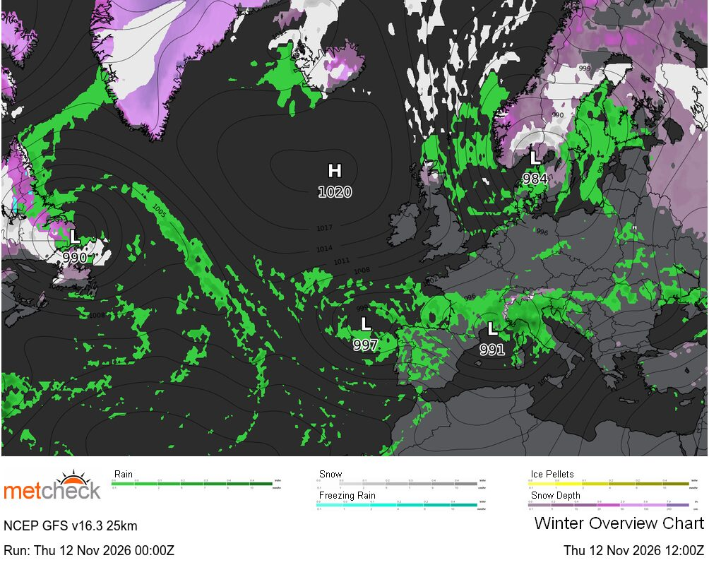
The latest few GFS ► runs are showing this type of pattern towards the end of the month :-
![]()
A Scandinavian high builds to the North and links up with the Siberian high. Obviously this is just one model run, but the models are showing this pattern is starting to take shape. You can see just how anomalous this pattern is for Western Europe here :-
![]()
Lower than average pressure across Southern Europe and higher than average to the North.
Still a long way to go before we enter late Autumn and Winter but the developing patterns are part of a bigger story and one which could have a few interesting chapters in the next few months.... | 


 La Paz 20mm/hr


 Chihuahua 64/hr


 Lampeter -2.8°c