Swapping Lows For HighsAdded : Monday at 8:45 The thing about the weather seasons at our latitude, is that certain types of weather systems at one time of the year can bring completely different weather than at another. A good example of this high pressure. During the summer months and when high pressure builds in across the UK meteorologists can almost put their feet up, relax and almost copy and paste the forecasts from one day to the next.
Once we move into autumn and winter, this becomes a little more complicated. The reason for this is down to one thing... moisture. Let's take two scenarios, the first is that high pressure moves in with a dry airmass near the surface, this in turn beings clear skies during the day and colder, clear nights with an increased risk of frost. But, if more moisture is present than models forecast, we can end up with developing mist and fog which may or may not then burn off in the morning and this in turn affects not only the overnight low, but also the following days maximum temperature.
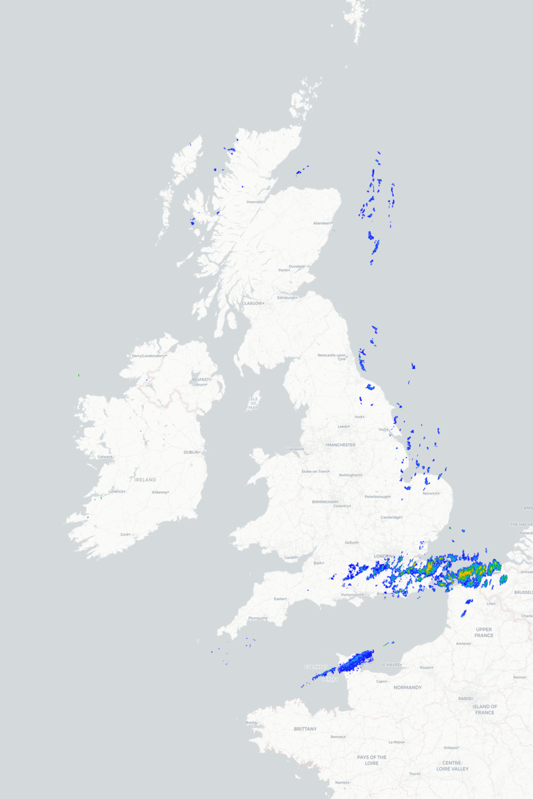
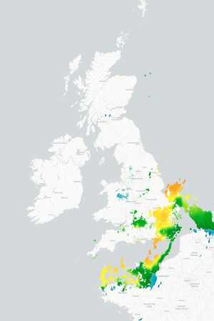
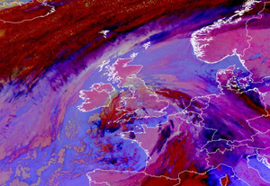
Today, we have low pressure bringing in a warm front from the Southwest and this brings rain and much milder air in from the South :-
![]()
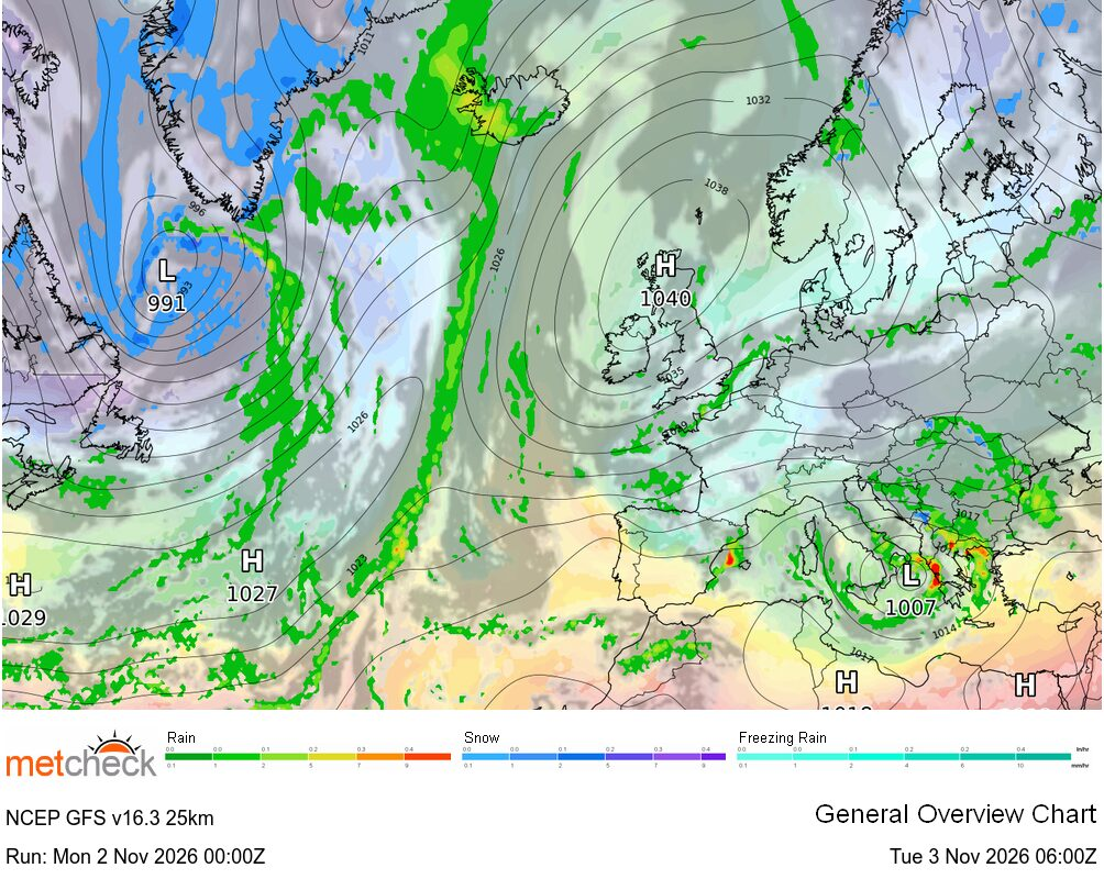
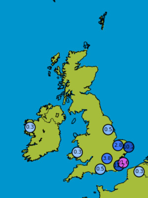
Later this week and high pressure develops to the Southeast with lighter winds across Southern areas :-
![]()
Now, remember that rain which is forecast today? That in turn brings soil moisture which makes the risk of overnight mist and fog more likely later this week across the South.
We call this the feedback mechanism and it's something meteorologists always have in the back of their mind when forecasting the weather. Whilst we can see certain synoptic scenarios developing and forecast the weather for those, we also need to consider not just the previous weather leading up to this but also the chance of this being right or wrong too.
In other words, we are unlikely to be able to put our feet up now until spring next year...
METEOROLOGIST : MARSH |



 Limón 22mm/hr


 Queensland 125/hr


 Glasgow Ai... -2°c