Forecasting The Pea SouperAdded : Thursday at 8:30 When it comes to mist and fog forecasting, we tend to use ensembles more than anything. The reason for this is that some models are notoriously bad at forecasting low cloud, the GFS ► is one of them. On the other side of the coin we have models like ARPEGE and AROME which are good at forecasting fog but tend to be a little too keen on developing it.
In house we use the Craddock & Pritchard method, but even this has its weaknesses as it relies on the temperature and dew point recorded at midday and then the cloud cover amounts over the next 18 or so hours.
So, when you expect fog and blue skies develop or open the door to an unexpected pea souper, it's probably down to slight inaccuracies in yesterdays data which is the cause.
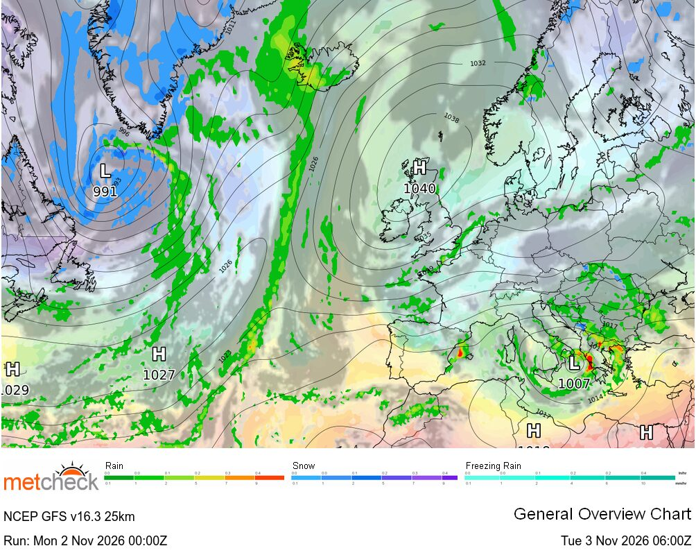
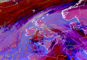
The other thing we consider is the ground saturation, dew point and the source of the high pressure system. You can see the high pressure moving in early next week as a strong upper level ridge across the UK :-
![]()
The source of the system is the Azores, so moist low level air and note the cooler air coming in around the top of the system. This air is drier, but also around 500m above the ground and this contrast tends to increase the risk of low cloud or anticyclonic gloom.
Easy as that eh? Well no... you see, the air moving around the high moves North and then South again, as this happens it's warmed at the base which in turn allows drier air to develop.
So, if you think snow and thunderstorm forecasting is difficult, try fog...
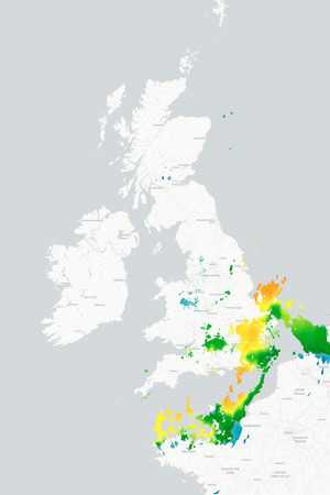
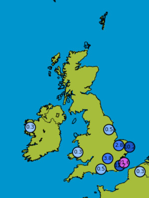
In house we use a blend of probabilities and also the UKMO global model which is one of the better ones. You can see the risk of fog developing inland across the UK on Saturday and Sunday mornings :-
![]()
As always, we will keep an eye on the data over the weekend, but we just wanted to explain that whilst you might think forecasting that overnight fog is easy in the UK, it's actually far more difficult than most think...
METEOROLOGIST : MARSH |



 Limón 22mm/hr


 Queensland 121/hr


 Glasgow Ai... -2°c