Messy ThursdayAdded : Wednesday at 8:30 Thundery breakdowns across the UK tend to be rather messy and clumsy affairs. Whilst we might look at regions of instability and know where systems are likely to develop, there is usual several flies in the ointment which make the whole scenario way more complicated than we envisage.
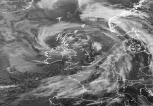
Tomorrow, we have low pressure to the Southwest of the UK :-
![]()
You can see the CAPE and instability around the system, but embedded within the system is also remnants of a tropical system which never quite developed. We have a warm front moving North, but then a cold front also develops and rushes in quickly from the South tomorrow and this is where we expect the main action to be :-
![]()
In scenarios like this though, we put on our bakers hat and tell you confidently that we have flour, eggs, sugar, cream, chocolate and cherries and are going to see a wonderful cake. But sometimes nature comes in and scuppers the whole thing by adding something like salt which we didn't see or expect, sometimes it just mixes it up and bit then drops it on the floor...
A good example of this is that the models show some low level shear across Northern Spain later today which could tap into the front and allow some very well organised thunderstorms to develop with large hail and damaging winds, but if the region is 20-30km too far North or South then the risk drops markedly.
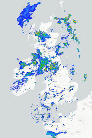
Our best bet (the cake we are imagining in our head) is that some heavy thunderstorms approach the South coast early tomorrow morning, these move North with heavy rain, lightning, hail and gusty winds. The systems then move North with another branch developing to the East and another moving across the Midlands towards the Northwest, it's this lobe which we think will tap into the most unstable air.
So, that's our cake, now it's up to Mother Nature to bake it and display it... You should find out tomorrow morning what the cake looks like...
METEOROLOGIST : GREATBRITISHBAKEOFF |



 Good evening/ morning everyone ,
Not a cloud to be seen overnight or this m... NEW!
Good evening/ morning everyone ,
Not a cloud to be seen overnight or this m... NEW! Evening all...it's been a mostly cloudy Thursday but there was a fairer spell mid afternoo...
 The morning started bright and sunny but gradually the cloud increased and rain arrived ea...